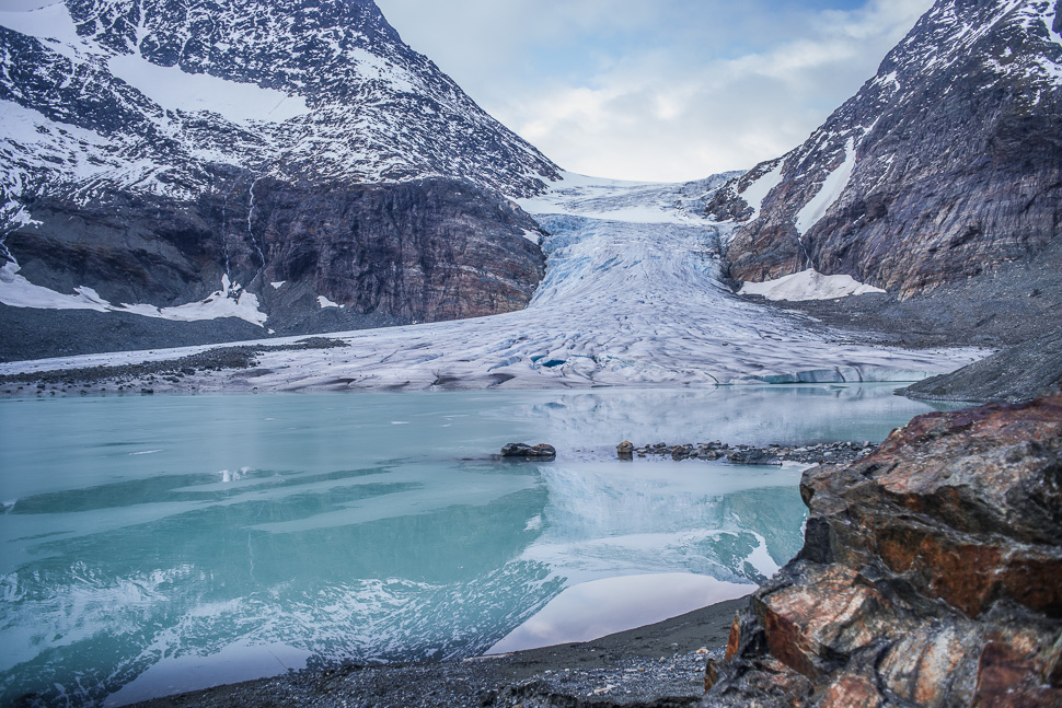
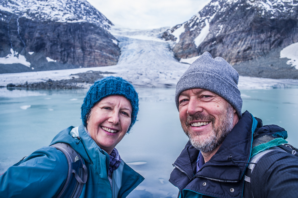
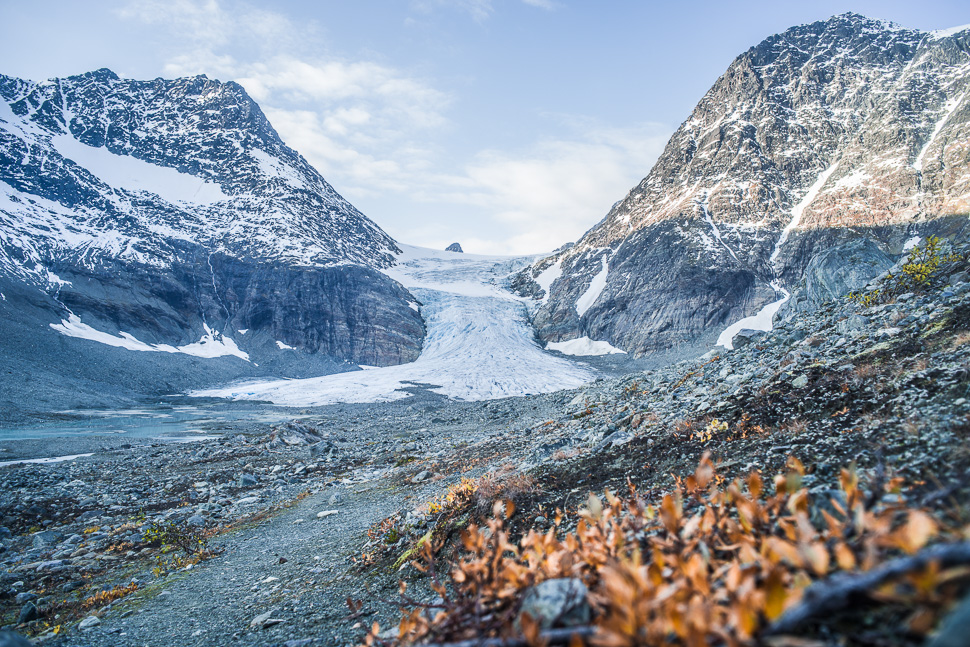
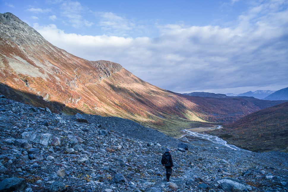
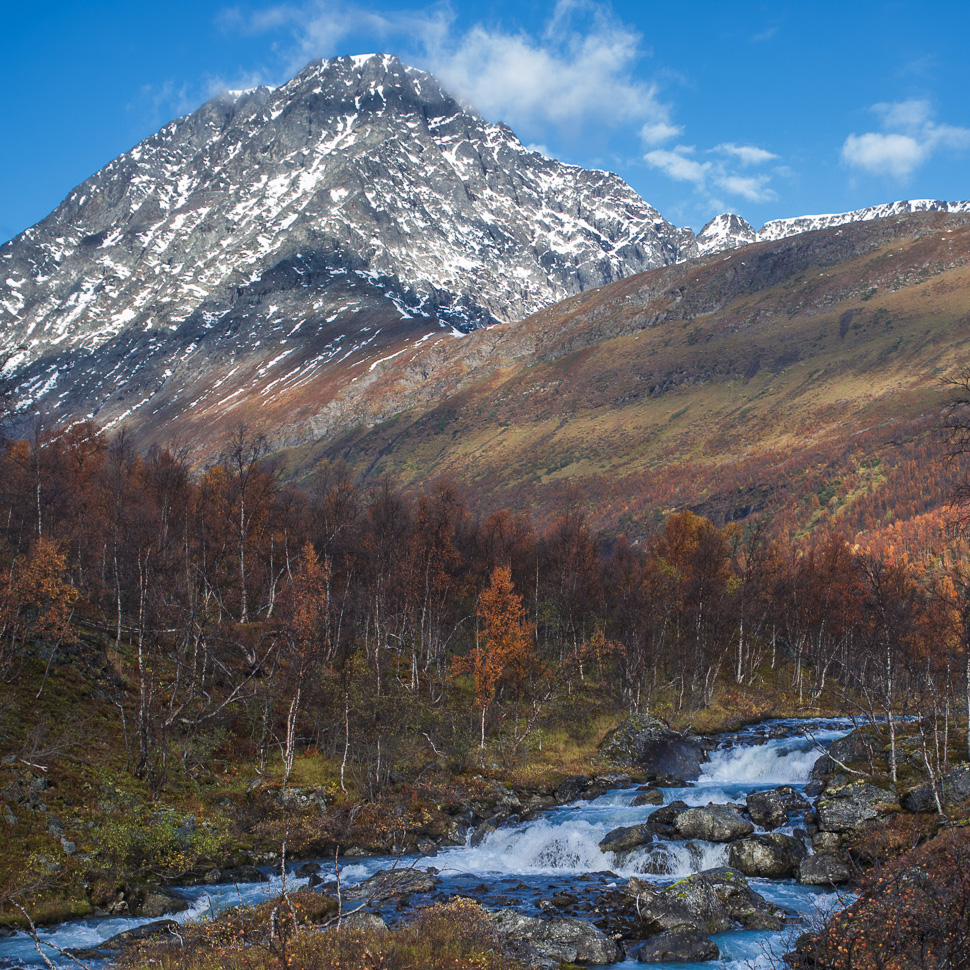
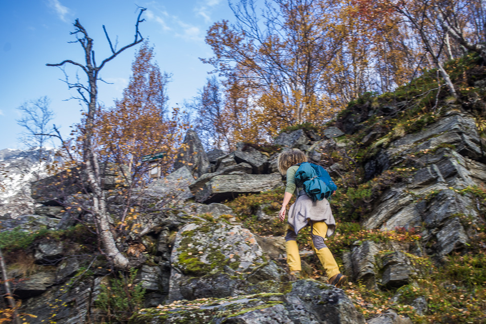
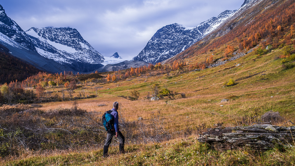
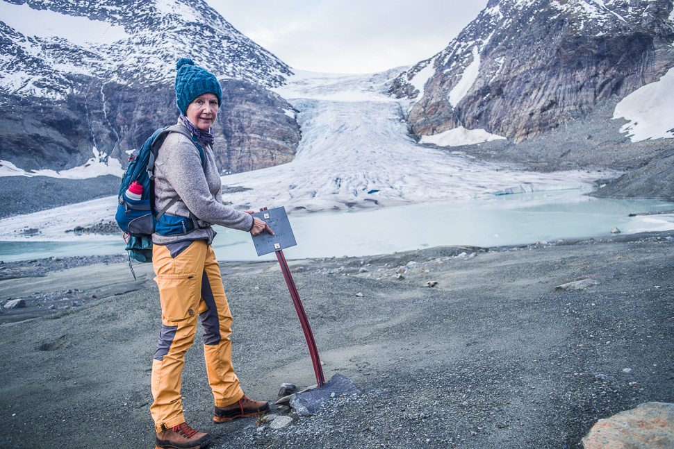
Our second glacier in Norway was the Steindalsbreen in the Lyngen Alps, a mountain range east of Tromsø. The hike leads through the valley formed by the glacier and its river over million of years and crosses over a couple of moraines before you reach the end of the glacier tongue.
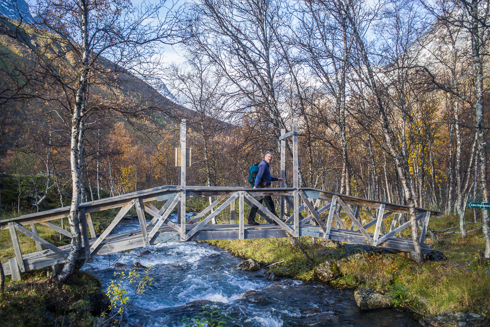
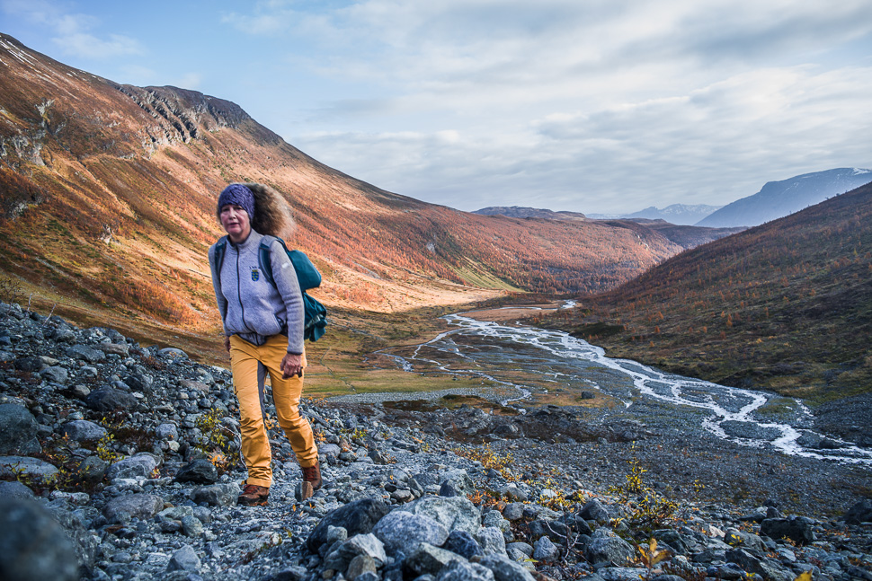
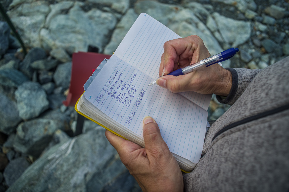
Again we had spent the night at the parking where the hike starts (69.375951, 20.039043). We left early the next morning as we had read that the hike takes 5-7 hours. In the end we were back after 5,5 hours including our lunch and foto stops. In my opinion the hike wasn’t very strenuous. At least the path was much better than the one to the Øksfjordjøkelen the day before.
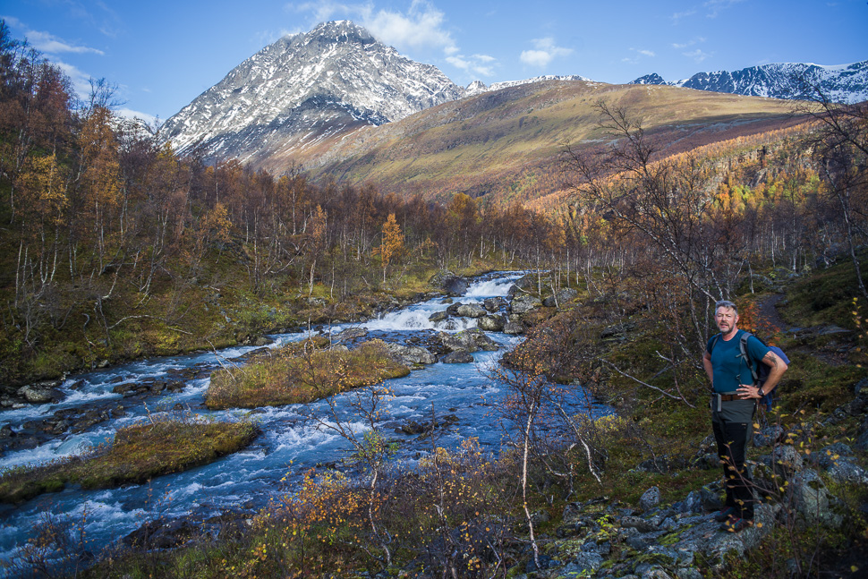
The route follows the river upstream and at the beginning you can’t see the glacier, which appears much later when you are past the bend.
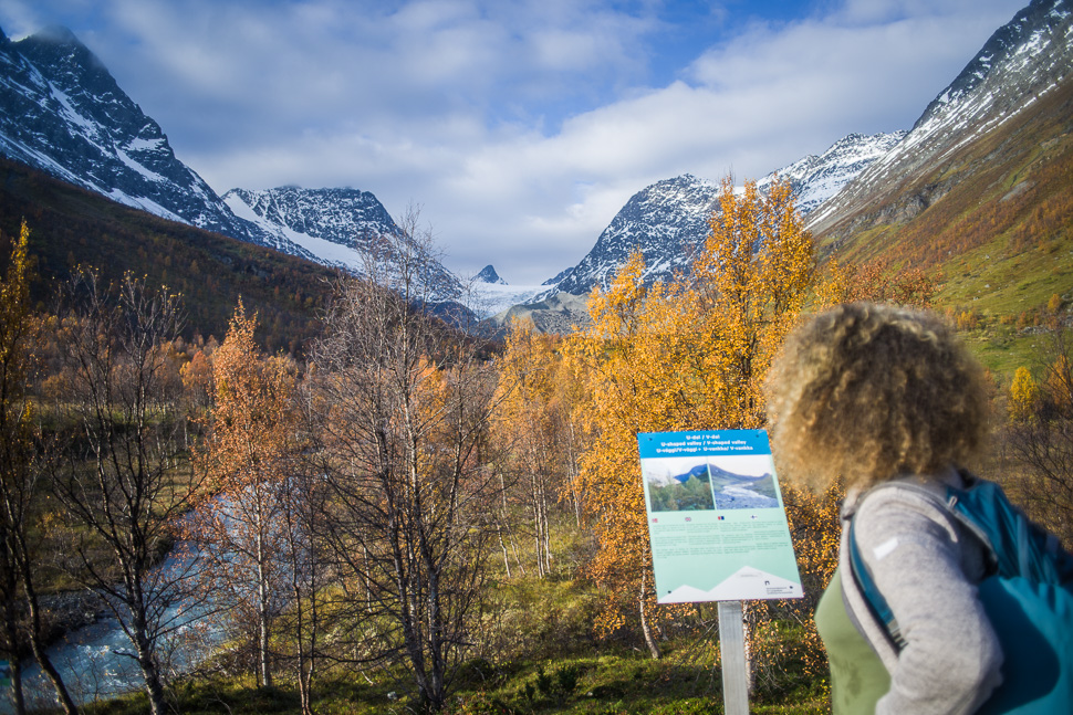
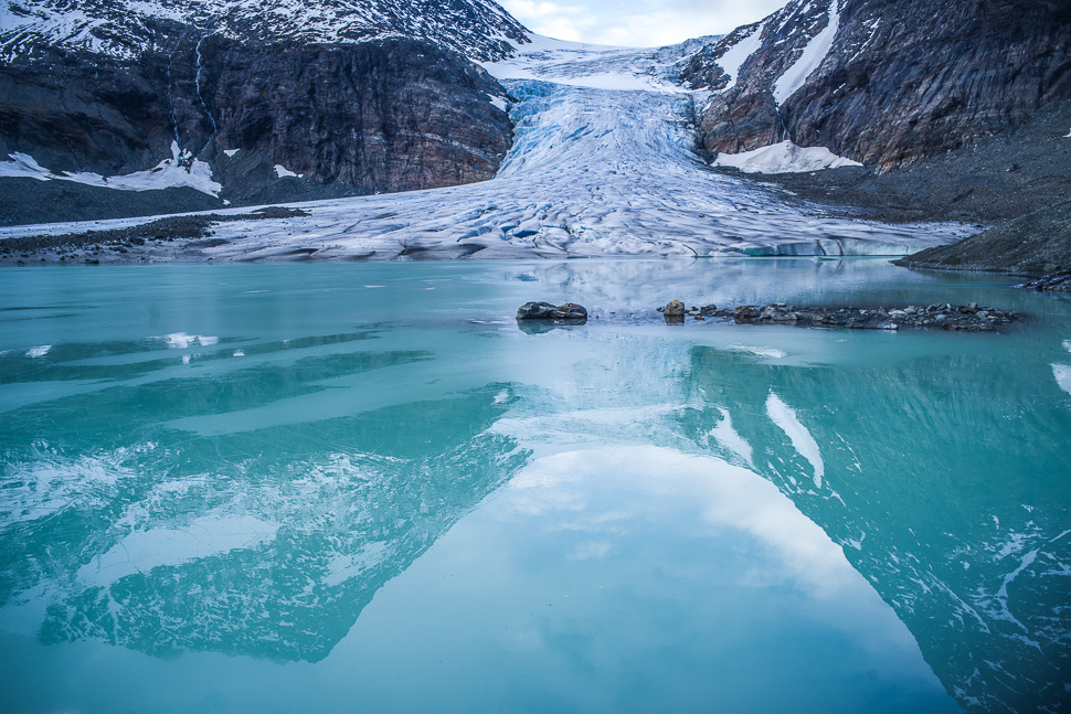
A huge moraine is blocking the way which you have to climb, but as soon as you are on top of it the glacier is in front of you and all the sweat forgotten.
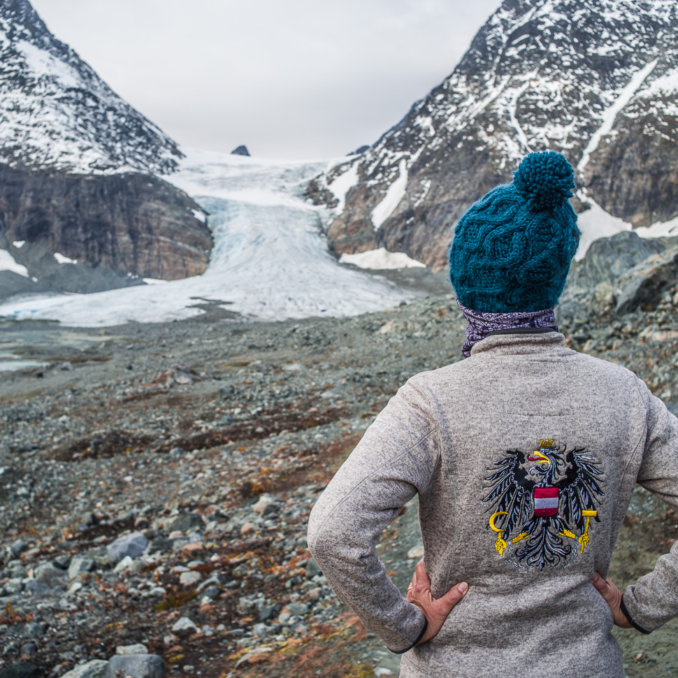
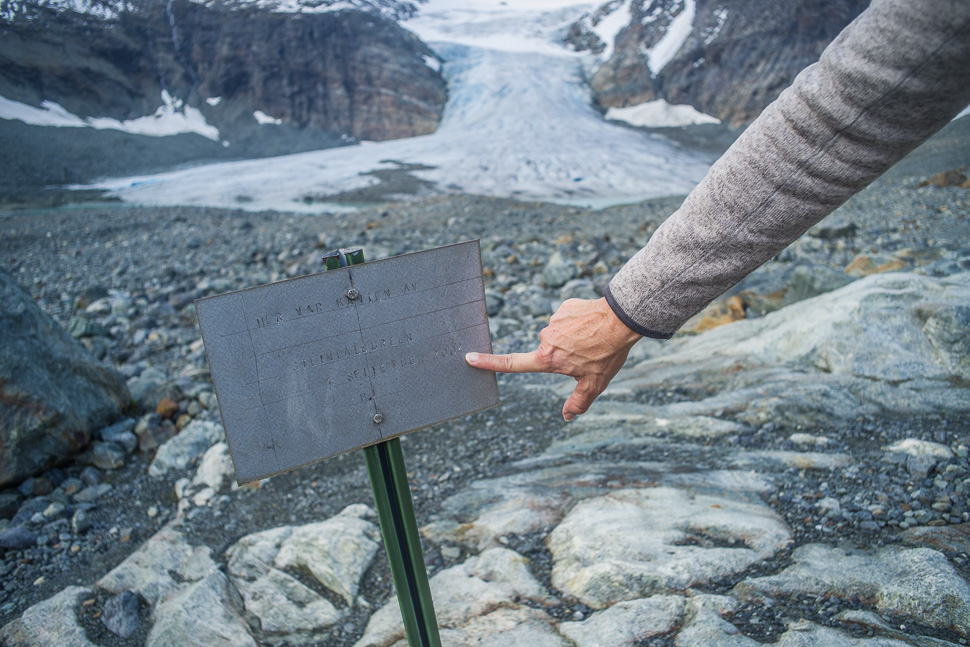
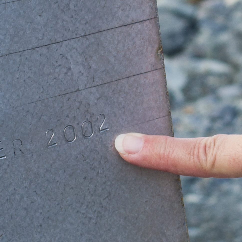
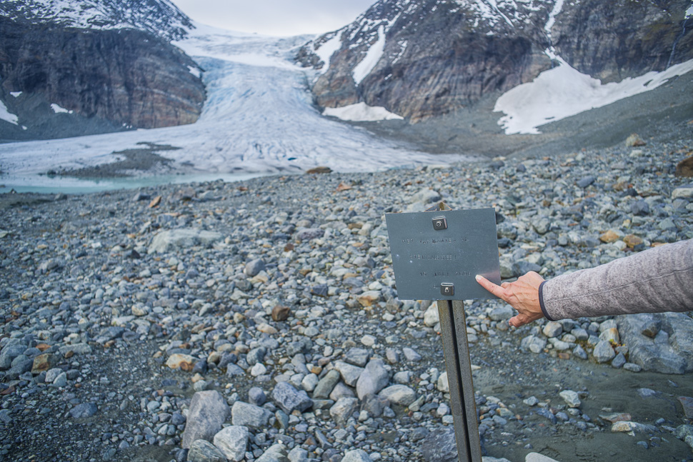
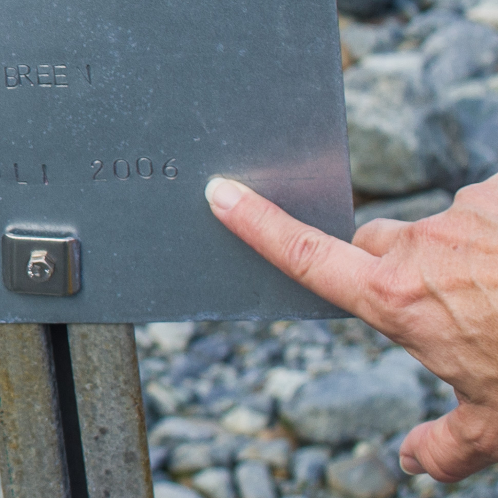
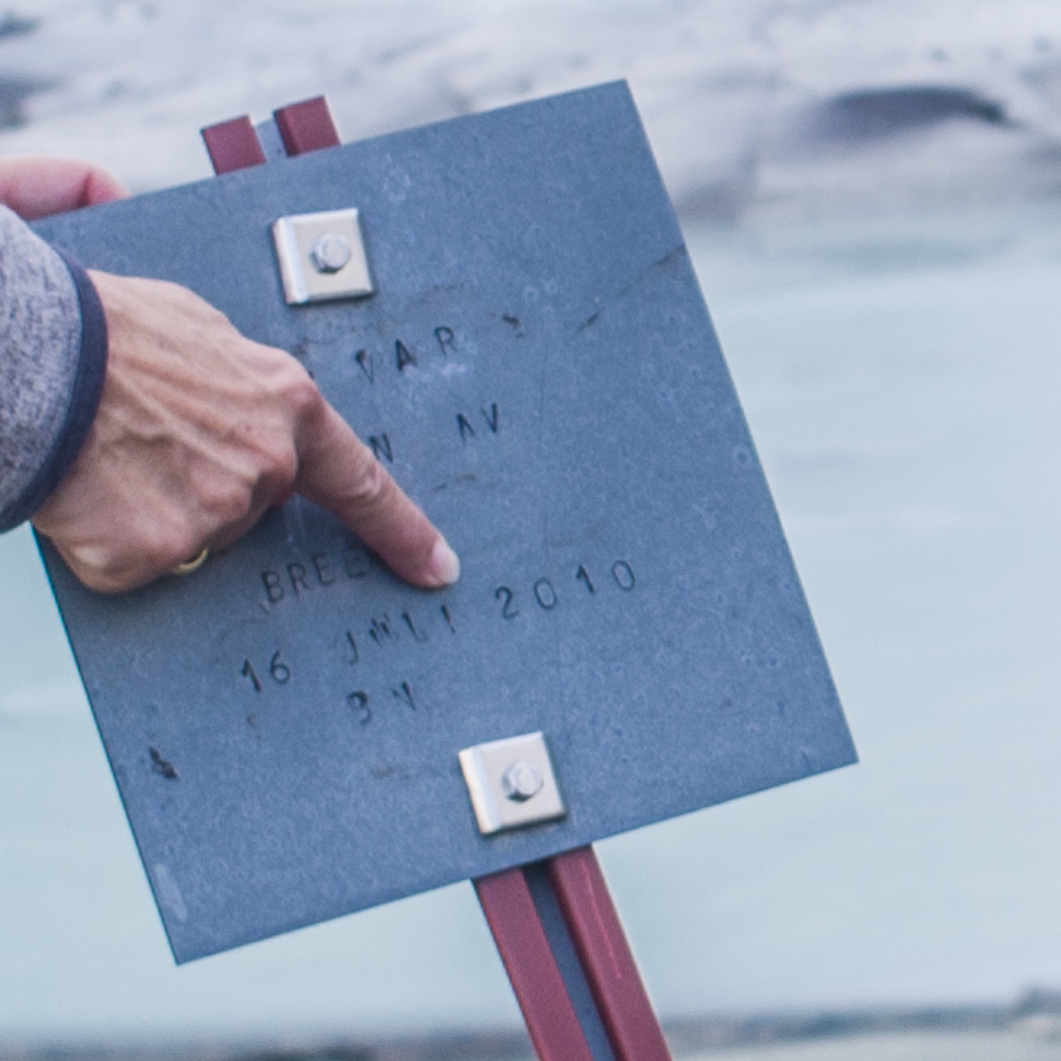
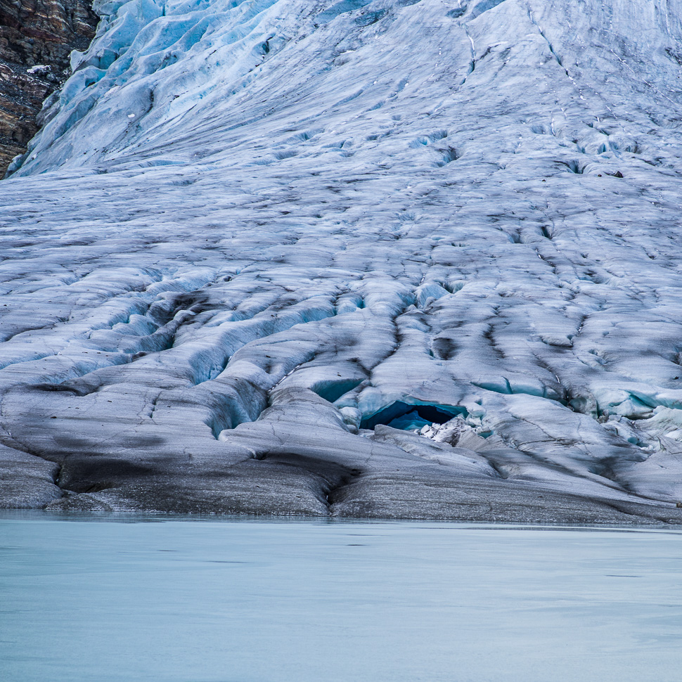
That really made us think. It was incredible to see how fast this glacier retreats. In 30 years there will not be much left of this glacier!