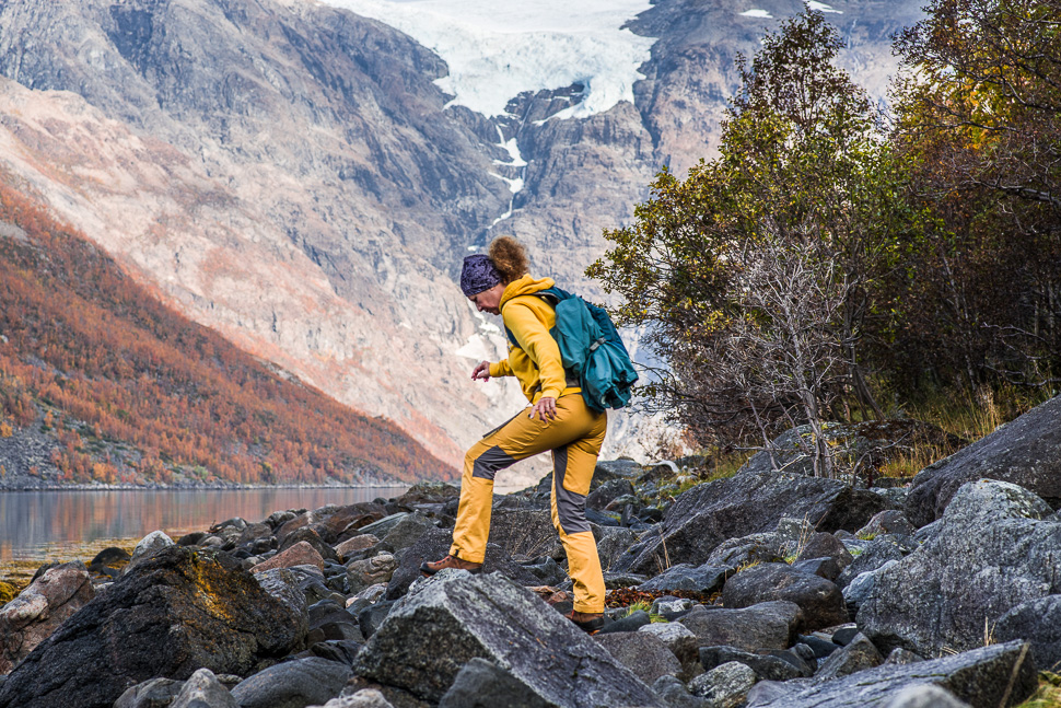
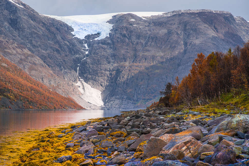
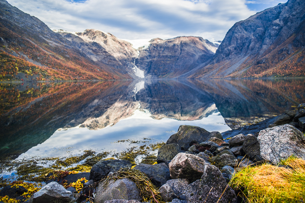
By chance we had discovered this glacier at the Jøkelfjord south of Alta and went for a hike to get a good view from the shore of the fjord. We had parked for the night at the end of the street leading into the fjord. From there it is a 8km hike to get to the point where the water coming down from the glacier reaches the sea.

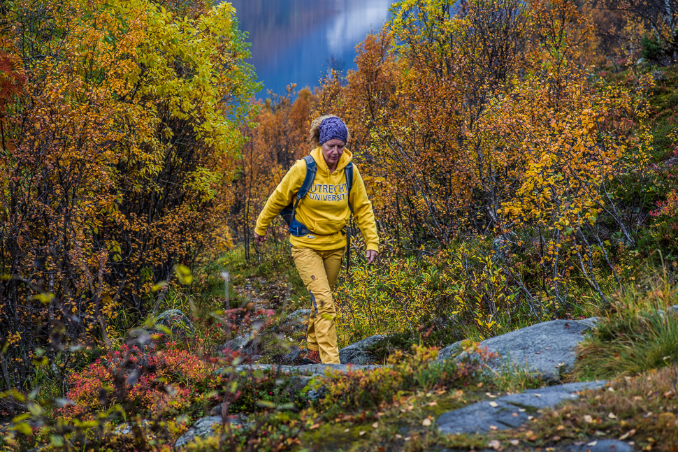
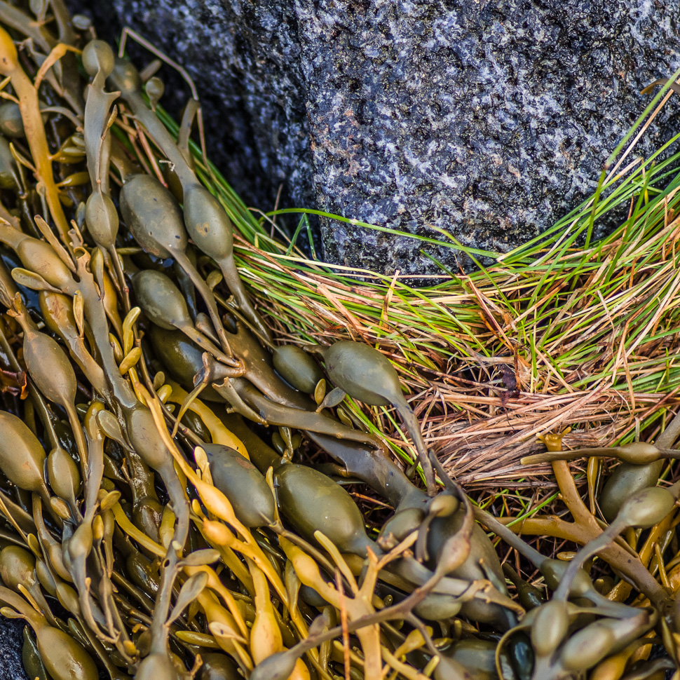
Already from our parking we could see the Øksfjordjøkelen, which is the ninth largest glacier in mainland Norway with 41km2 surface. (parking: 70.082820,22.008780) The next morning we started to hike along the fjord on a path leading over many rocks.
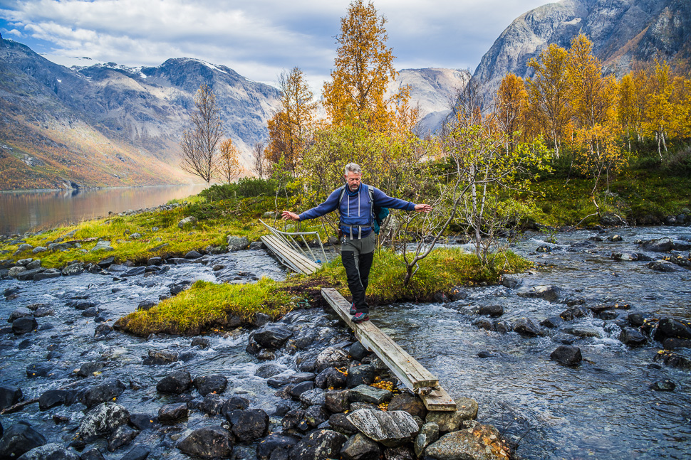
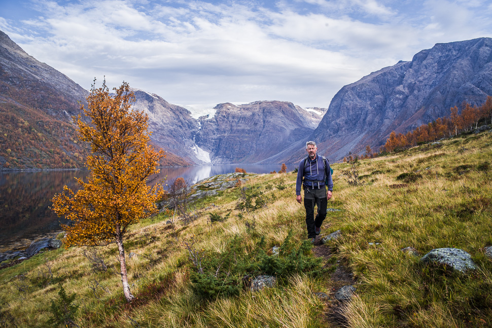
The hike until the bridge was 2,7km which took us 3 hours in total to get there and back including all the foto stops we made. After the bridge there is no path anymore and you have to find your way over the rocks. We didn’t think it would be worth it, but maybe somebody who walked the whole 8 km can tell us otherwise?
Pingback: Steindalsbreen – we travel
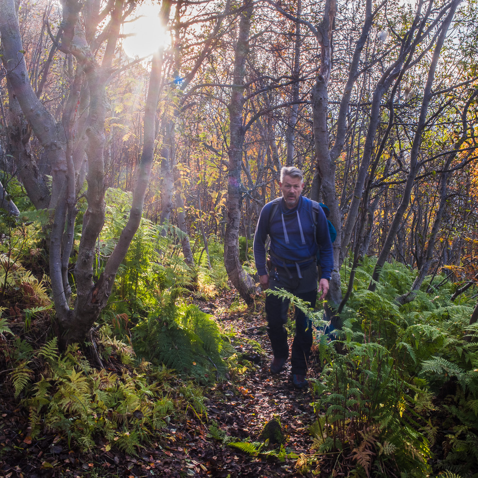
There is no bridge anymore, I guess since this winter 21/22. There are just some wooden parts lying around.