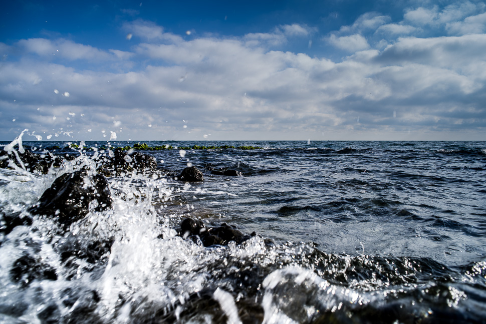
Parque Natural de Cabo de Gata – Nijar – a National Park at the coast of Almería, founded in 1987, saved this beautiful coastline from destruction through speculative tourism development. The coast of about 30 km is a wild and isolated landscape with some of Europe’s oldest geological features. The mountain range is characterised by volcanic rock formations in many forms. This part of Spain has the driest climate in Europe and the most beautiful beaches!
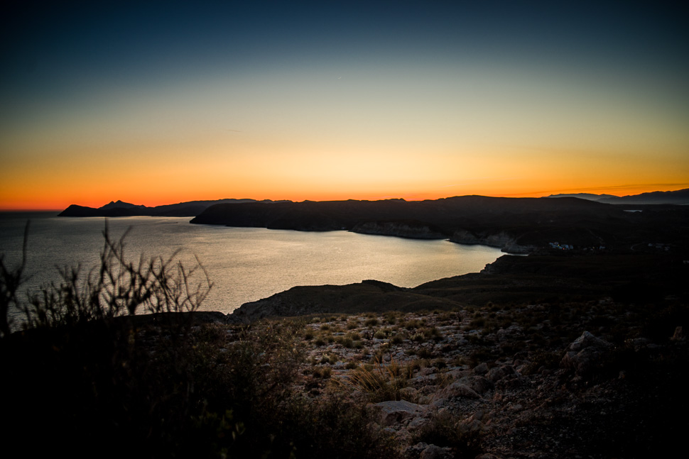 |
| Mesa de Roldán |
We first reached Mesa de Roldán, a table mountain with a lighthouse and a defensive tower from the 17th century. We parked there for the night and had our first view along the coastline of the N.P.
In the morning, we drove back down and stopped at the parking of Playa de los Muertos, a beautiful beach which you only can reach by walking down from the hills.
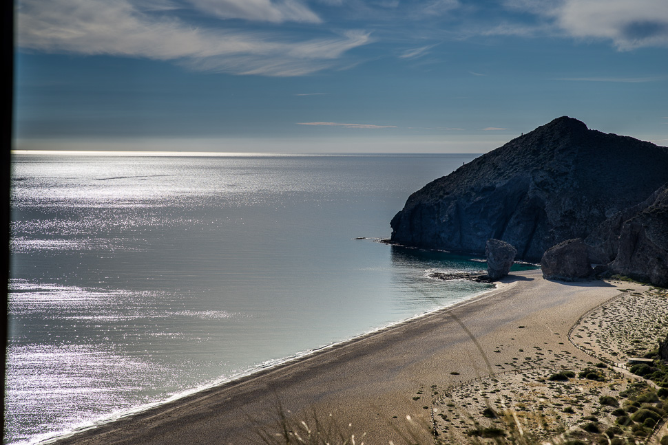 |
| Playa de los Muertos |
The first village of the park is Agua Amarga, and it was our favourite. Very small, calm and with beautiful white washed villas around the beach.
From here, we hiked along the coast over the hills covered in Esparto grass, which was used to make ropes, paper and many things for daily life like baskets and shoes.
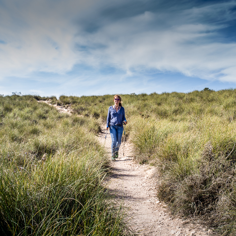 |
| Hiking through Esparto grass |
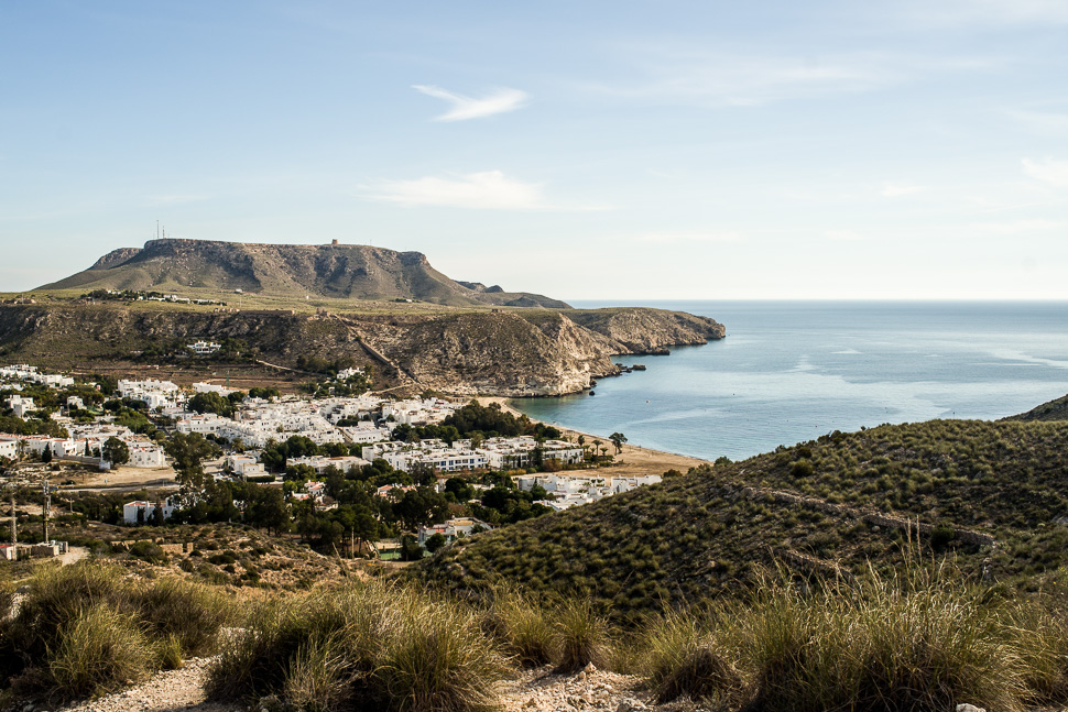 |
| Agua Amarga and the table mountain in the back |
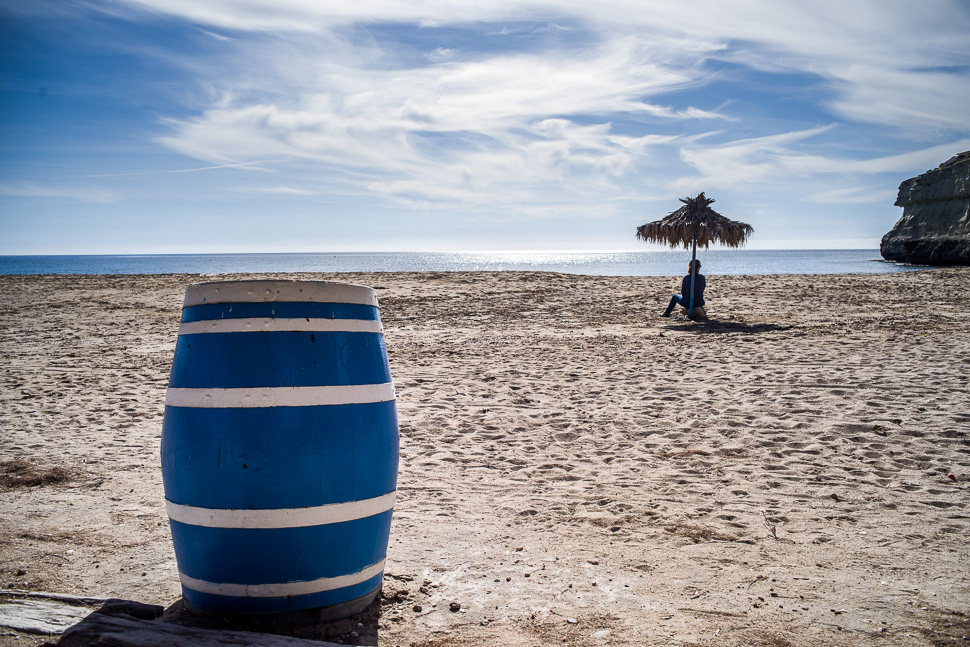 |
| Beach of Agua Amarga |
Driving through the hills of the Sierra, we next reached Las Negras, named after the dark rock next to the bay. The fishermen still pull their little boats up onto the beach which makes a picturesque scene.
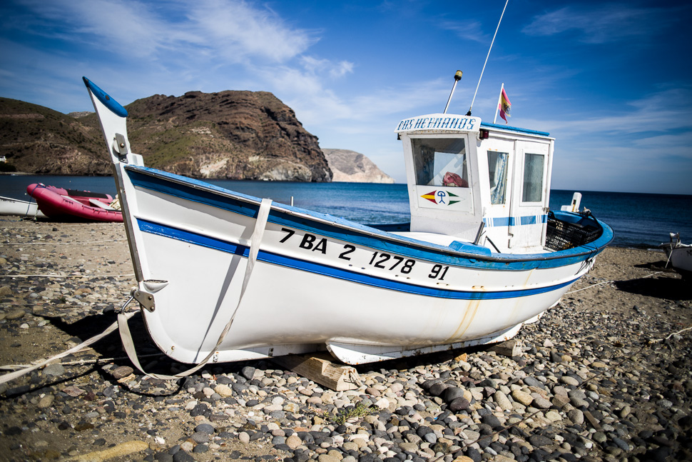 |
| Beach of Las Negras |
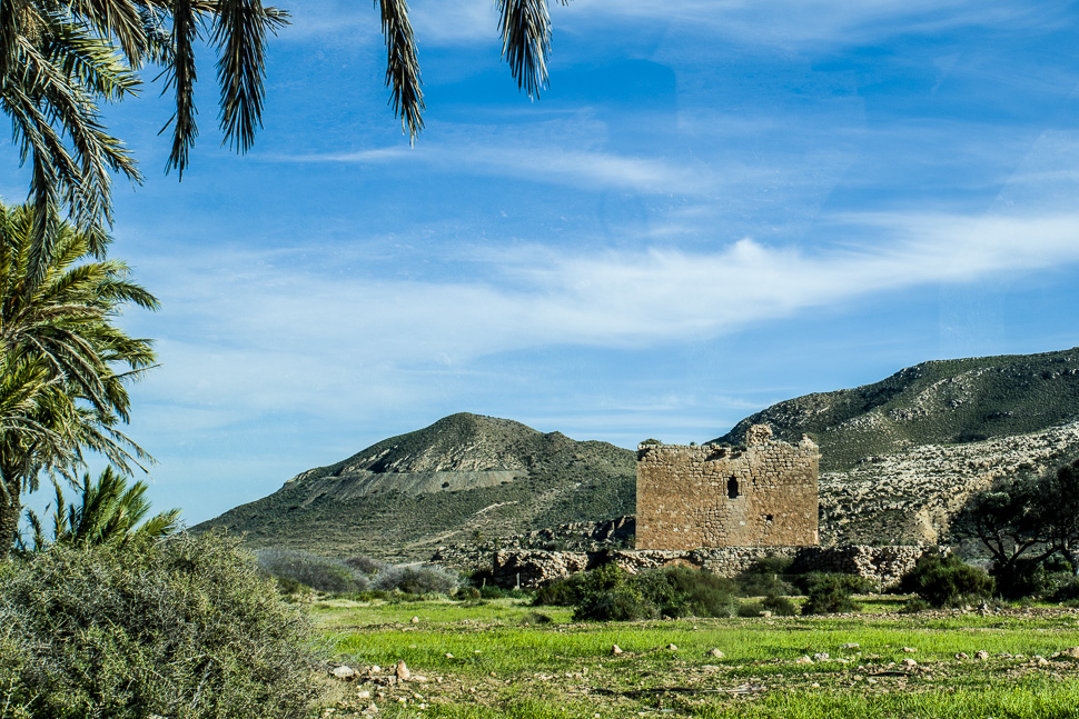
Further south, we reached the valley of Roadalquilar and at the end El Playazo, a long and wide beach. We found there a perfect spot and stayed two nights.
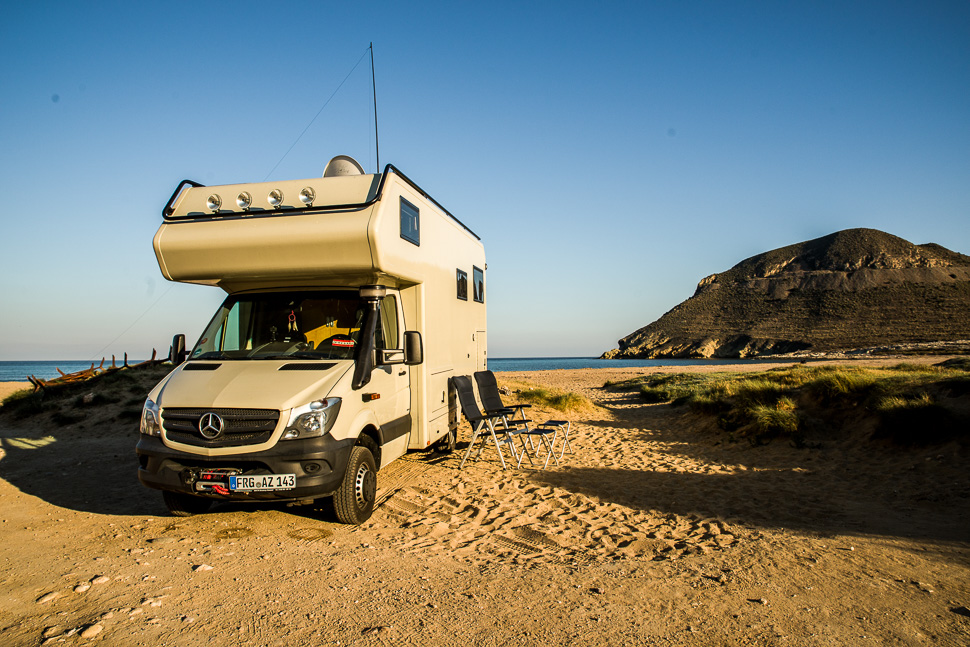 |
| El Playazo – the perfect beach |
 |
| Valley of Rodalquilar |
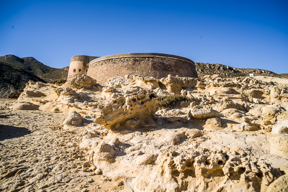
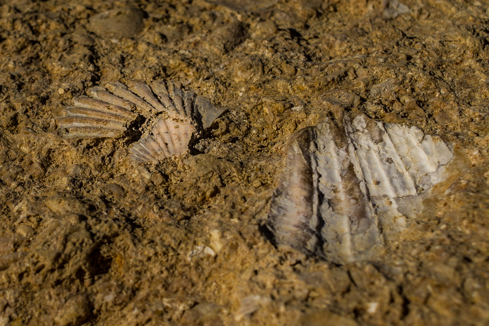
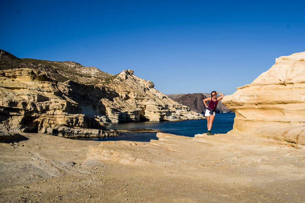
Next to the beach, the coast is formed by petrified sand dunes and above lies the fortress of 1764, built on order of Carlos III to defend the area against the pirate attacks.
 |
| The battery of San Ramón |
 |
| Petrified sand dunes containing shells |
 |
| Coastline next to El Playazo |
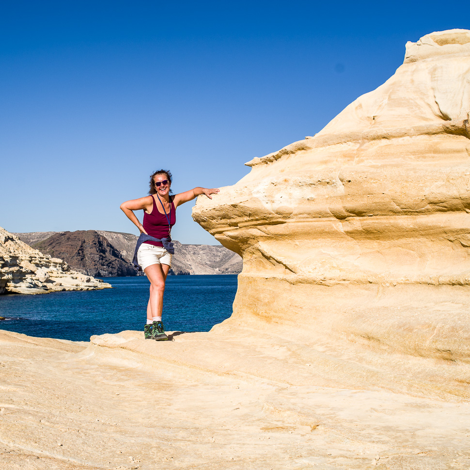 |
| Perfect hiking weather |
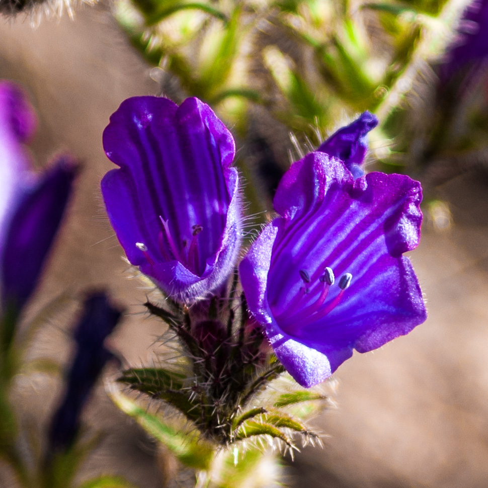 |
| Flower of the day |
When we finally left this lovely beach, we reached La Isleata del Moro, another little fishing village behind a little island.
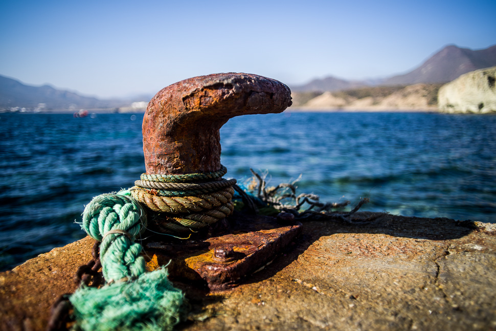 |
| At La Isleta del Moro |
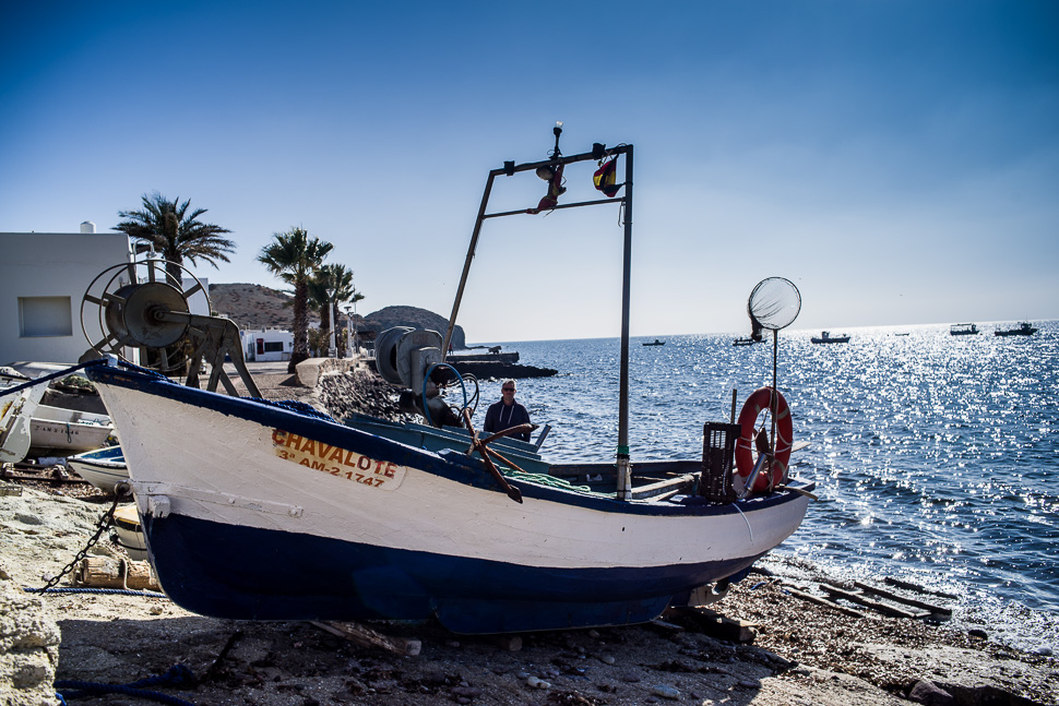 |
| La Isleta del Moro |
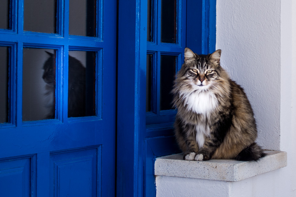 |
| Cat of the day 🙂 |
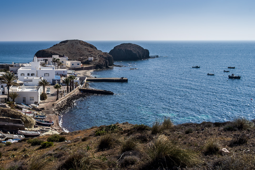 |
| La Isleta del Moro with its island |
At San José, which is the largest village of the N.P., we went for lunch in one of the restaurants around the harbour.
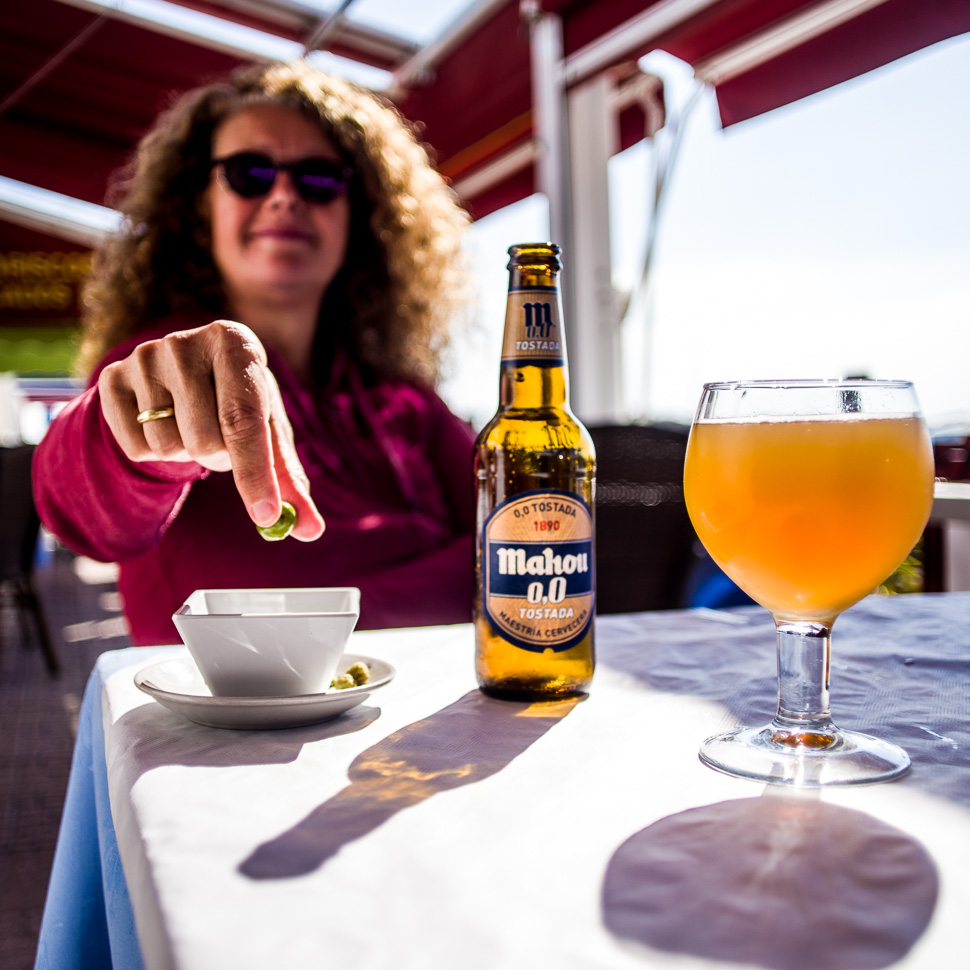 |
| Lunch comes soon |
San José is not very beautiful, but from here you can reach a couple of spectacular beaches.
There are restored wind mills scattered over the park, one on the way to these beaches.
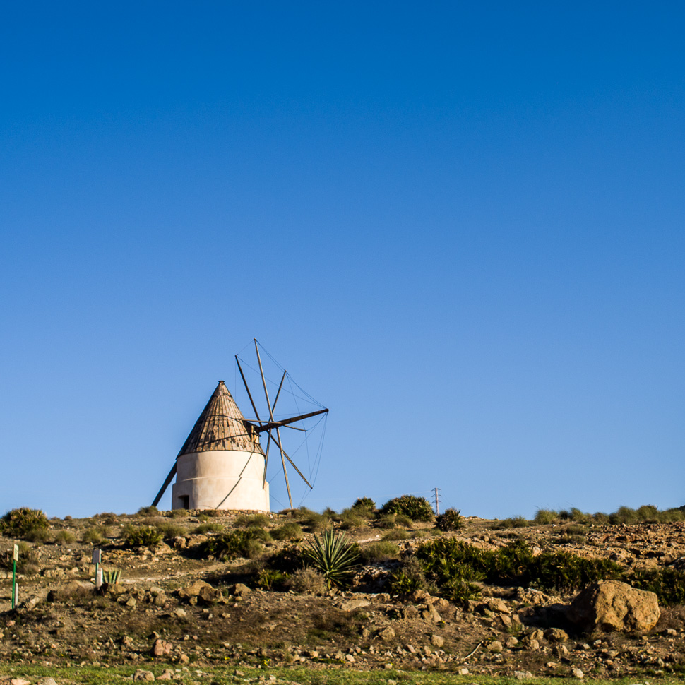 |
| Wind mill |
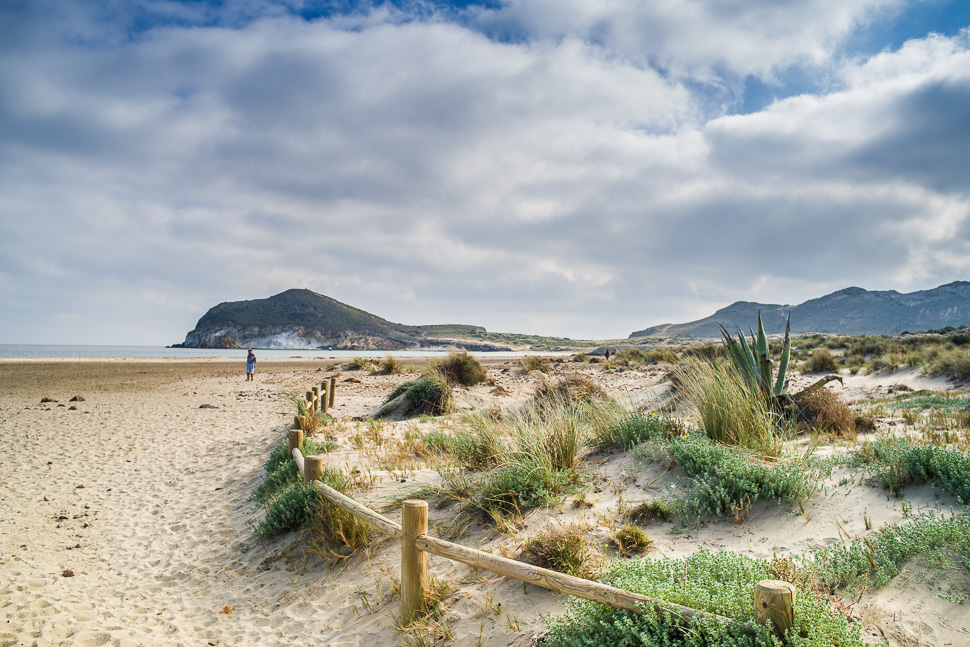 |
| Playa de los Genoveses |
The most famous beach is Playa de Mónsul, with overhanging volcanic rocks, black sand and a high sand dune on one side.
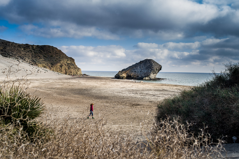 |
| Playa de Mónsul |
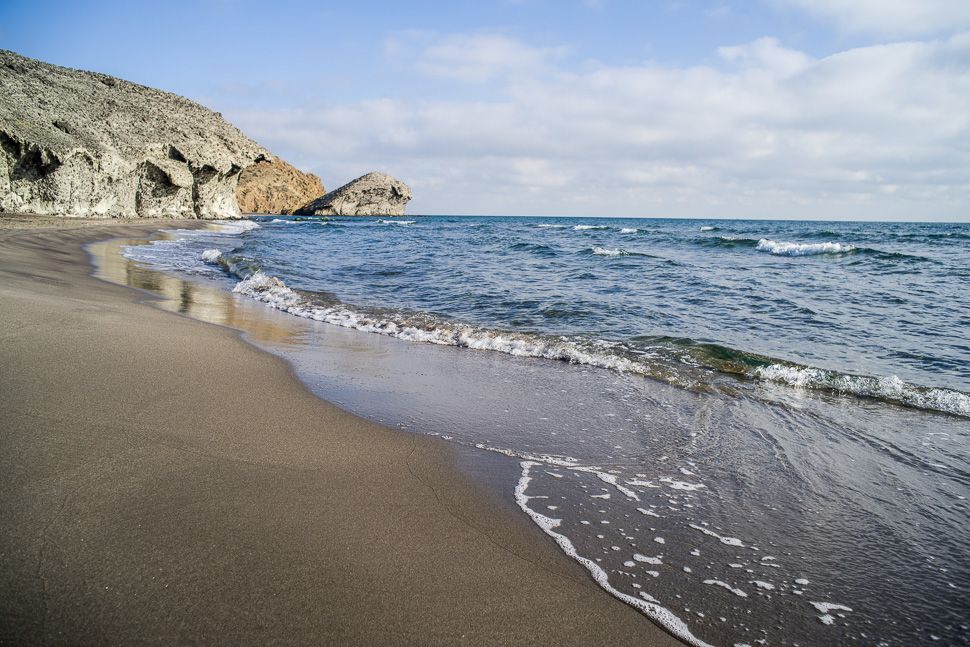 |
| Playa de Mónsul |
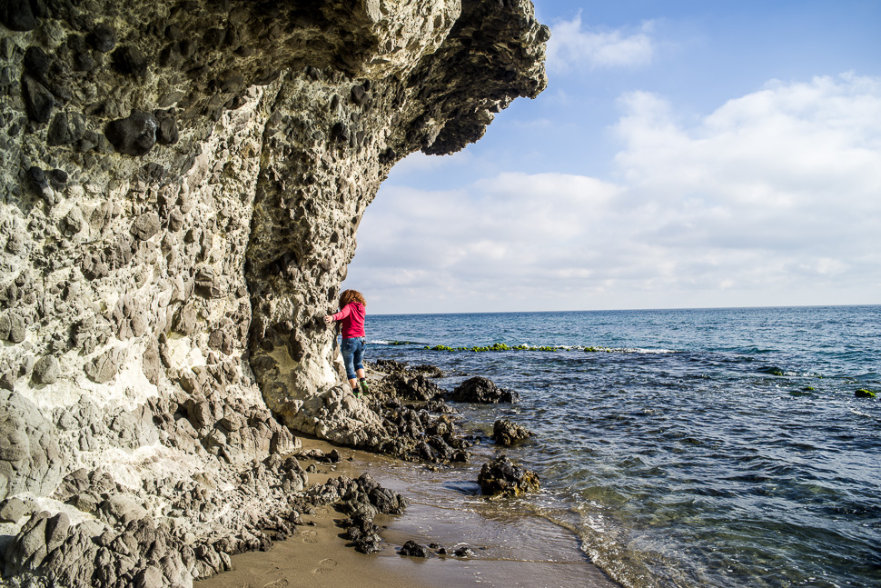 |
| shortest way from one beach to the next |
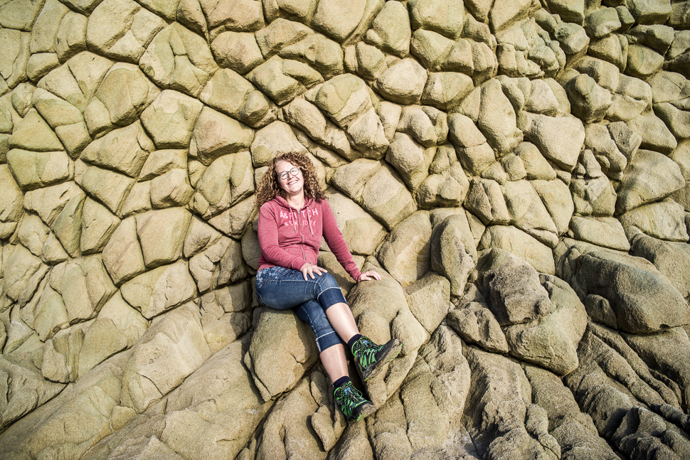 |
| Incredible volcanic rock formations |
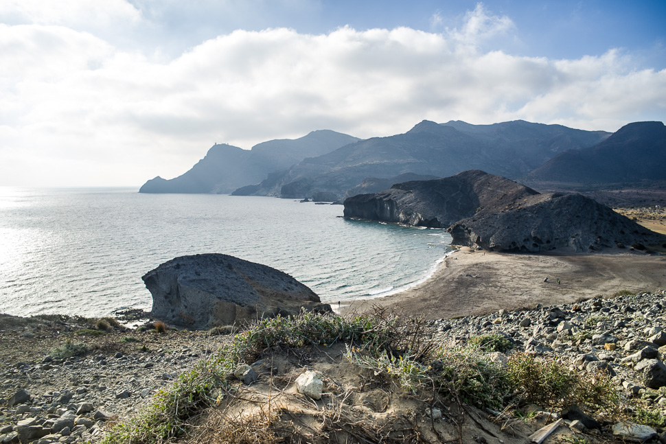 |
| Playa de Mónsul from its sand dune |
We now had to drive a big circle through the interior until we reached the coast again and drove up into the Sierra to the actual Cabo de Gata and its lighthouse.
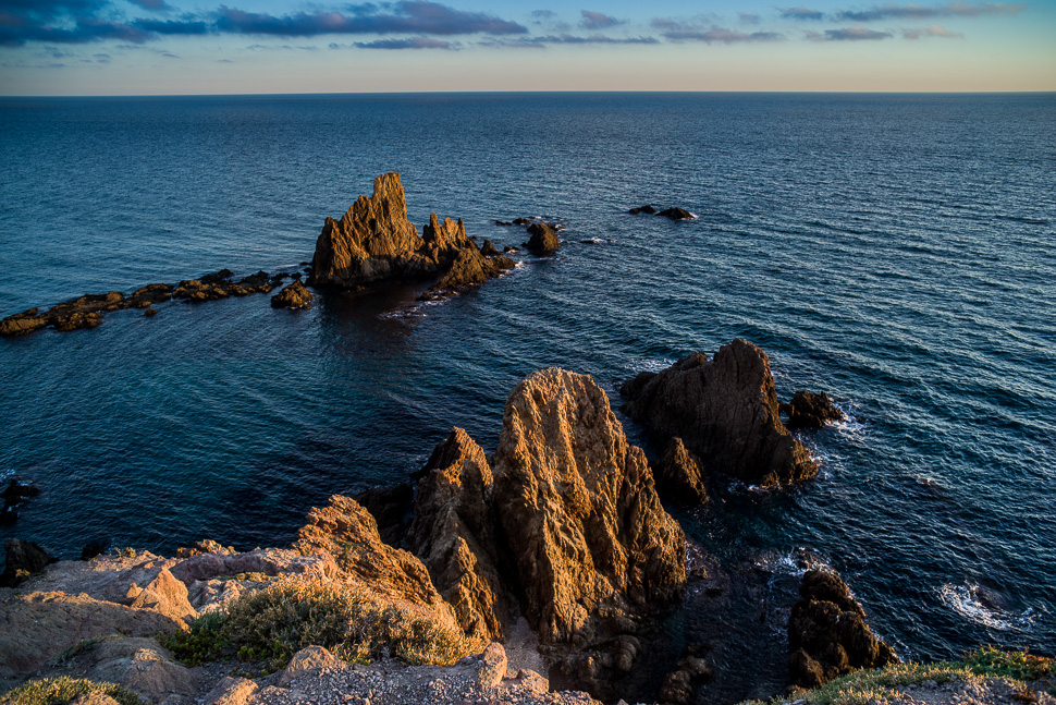 |
| Arrecife de las Sirenas |
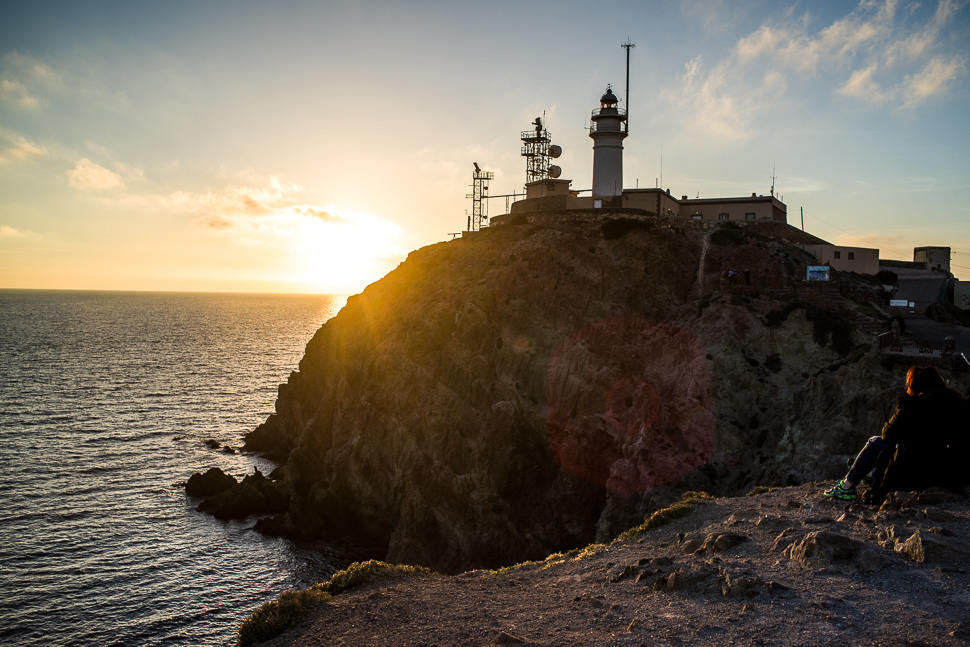 |
| Cabo de Gata lighthouse |
From the lighthouse a road with many deep potholes winds along the coast. We found a little parking after a bad bit of gravel road.
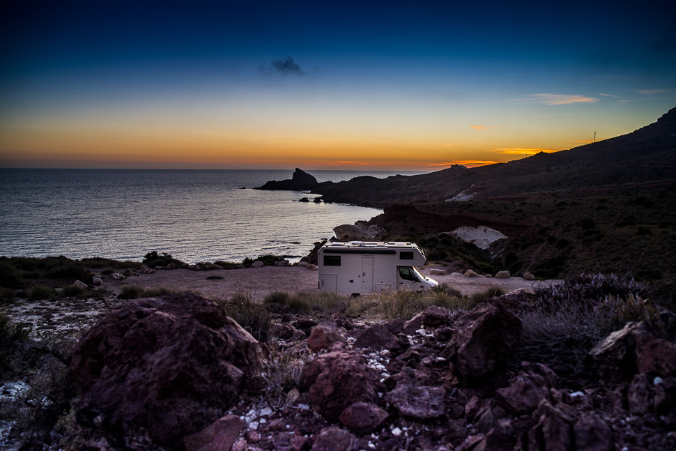 |
| Secluded spot for the night |
From here, we will go inland into the wild, wild west! More on the following post!


