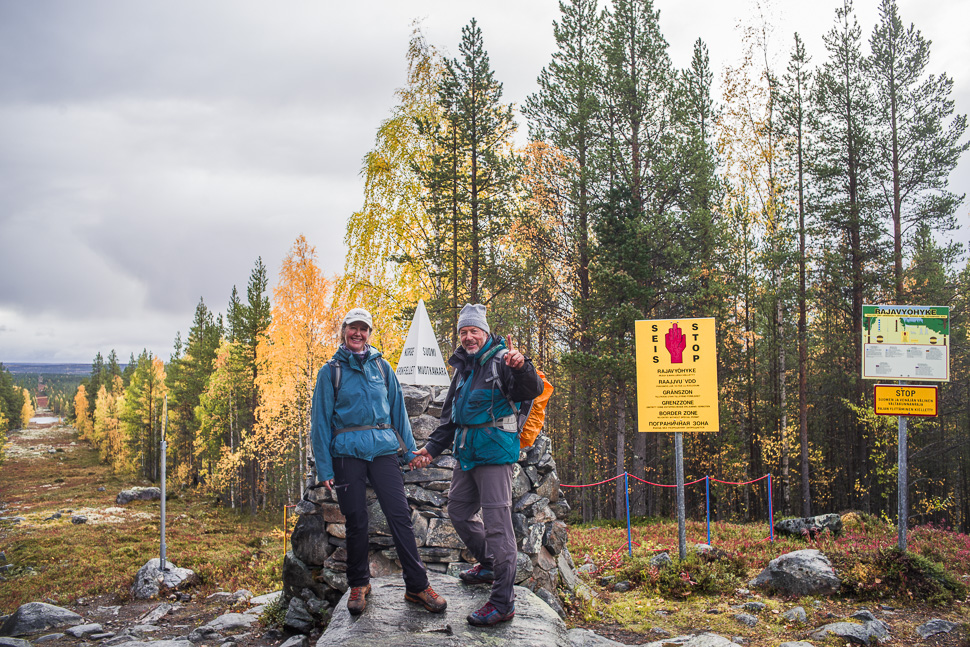
There is a point on the map where the borders of Norway, Russia and Finland meet. No road is leading to this point, but from Norway it is possible to hike there. That sounded just like the right place to go!
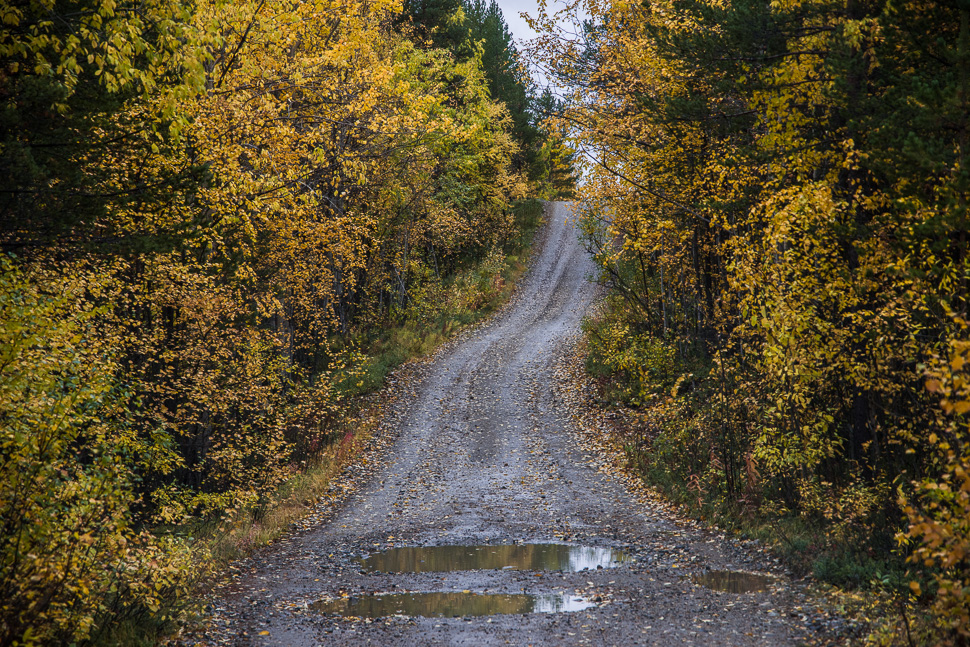
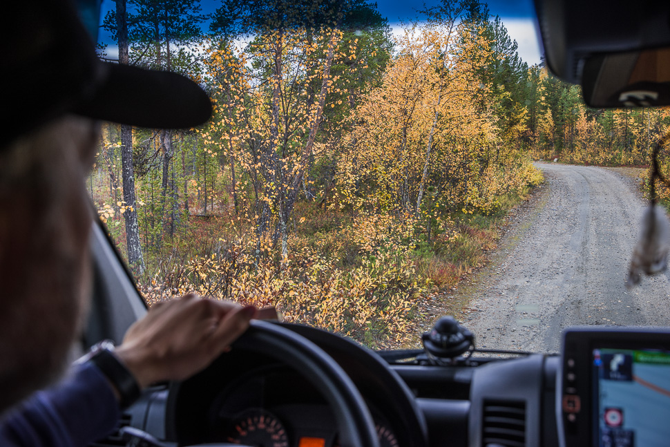
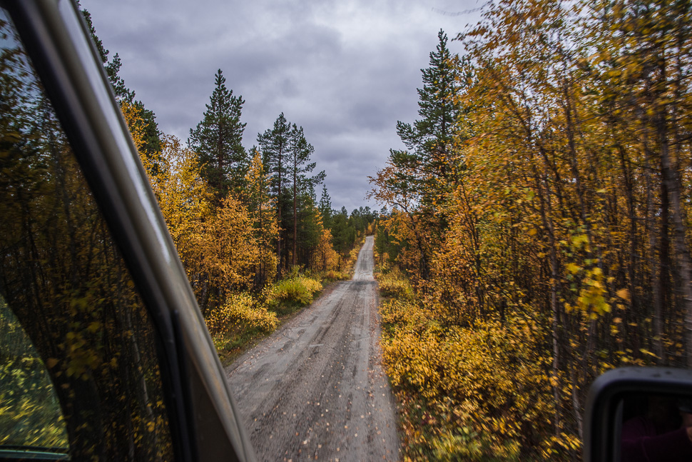
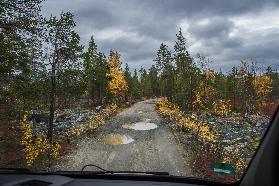
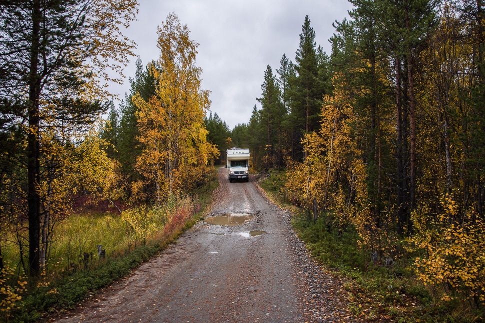
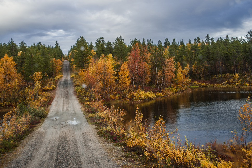
From Kirkenes, the most eastern town in Norway, just before the border to Russia, it is a 120 km drive to the point from where the hike starts. The trip there took some time as the road is very bumpy, which didn’t allow much more than 40 – 50km/h travelling speed. The last 19km are a bad gravel road through the Øvre Pasvik National Park with many potholes, reducing the speed even more.
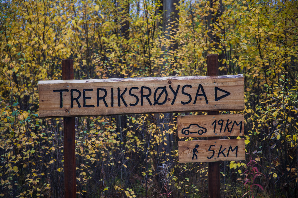
Treriksrøysa means “three-state stone man” and is the name given to the two tri-border regions along the Norwegian border. One stands here at the border to Russia and Finland, the second at the border point of Norway, Finland and Sweden, which is also not very easy to reach, but this might be another story for the future.
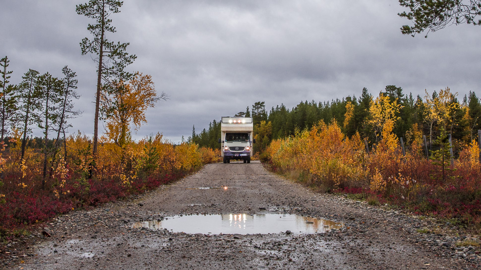

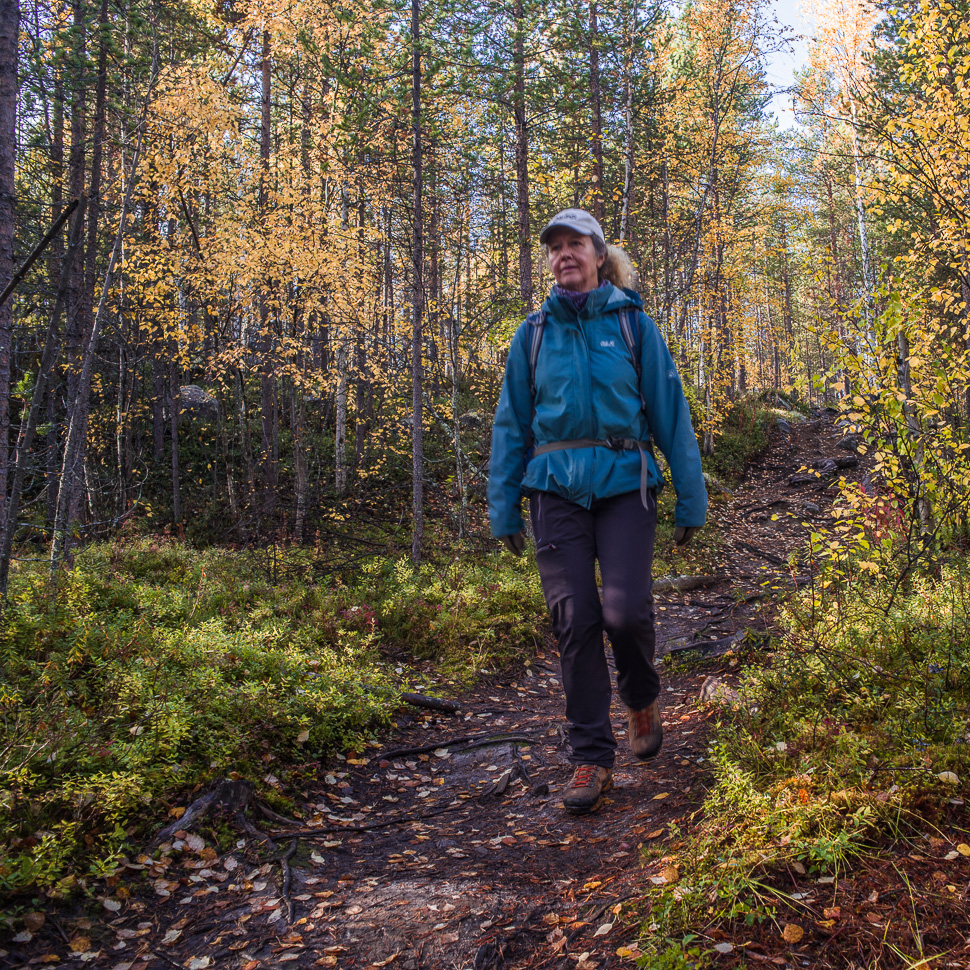
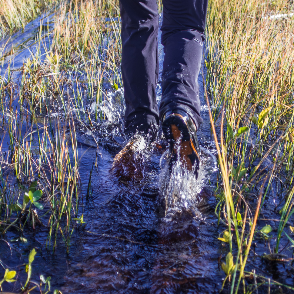
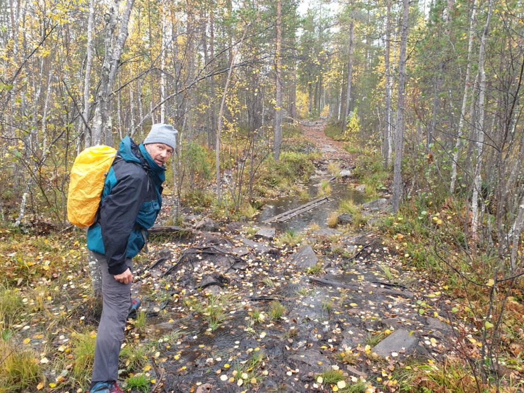
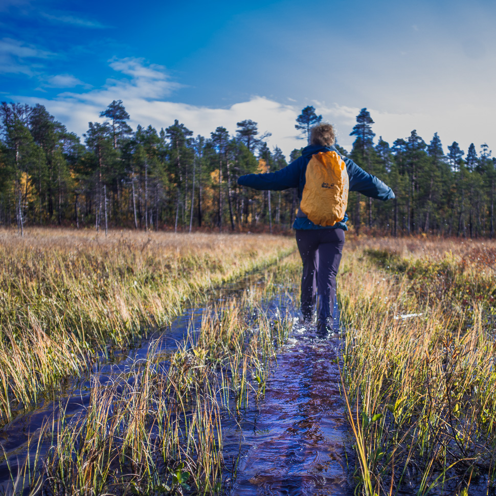
Finally we reached the parking near some border watch towers. A group of Norwegian hikers warned us that it is very wet and that gum boots would be necessary. We had no other option than our hiking boots, thankfully freshly impregnated. Anyway we thought that they must be exaggerating, but soon we learned otherwise.
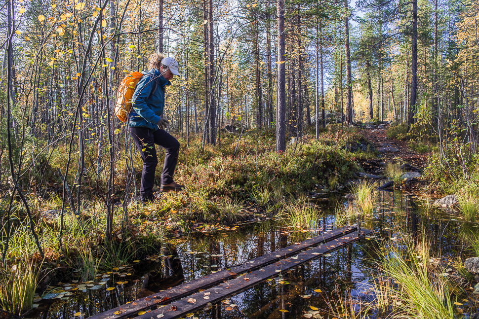
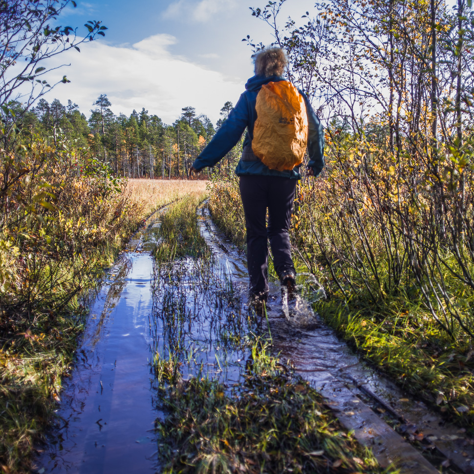
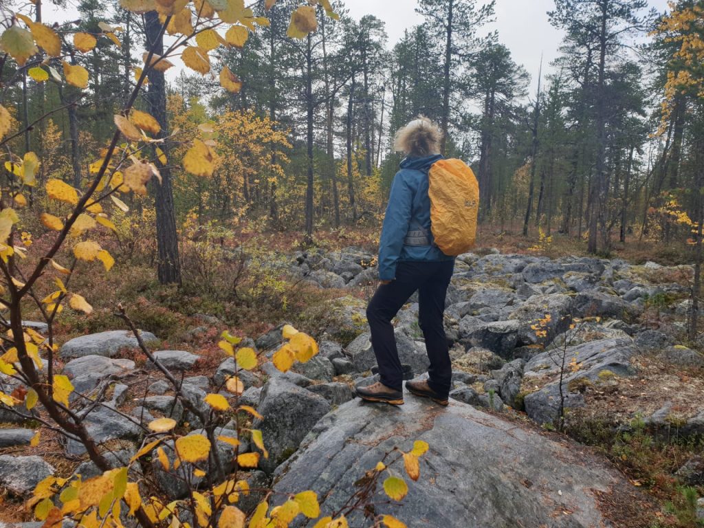
The planks were already under water, but they sink even deeper when you walk over them. You just have to make sure you don’t miss them. There were a couple of bogs we had to cross that way on this hike.

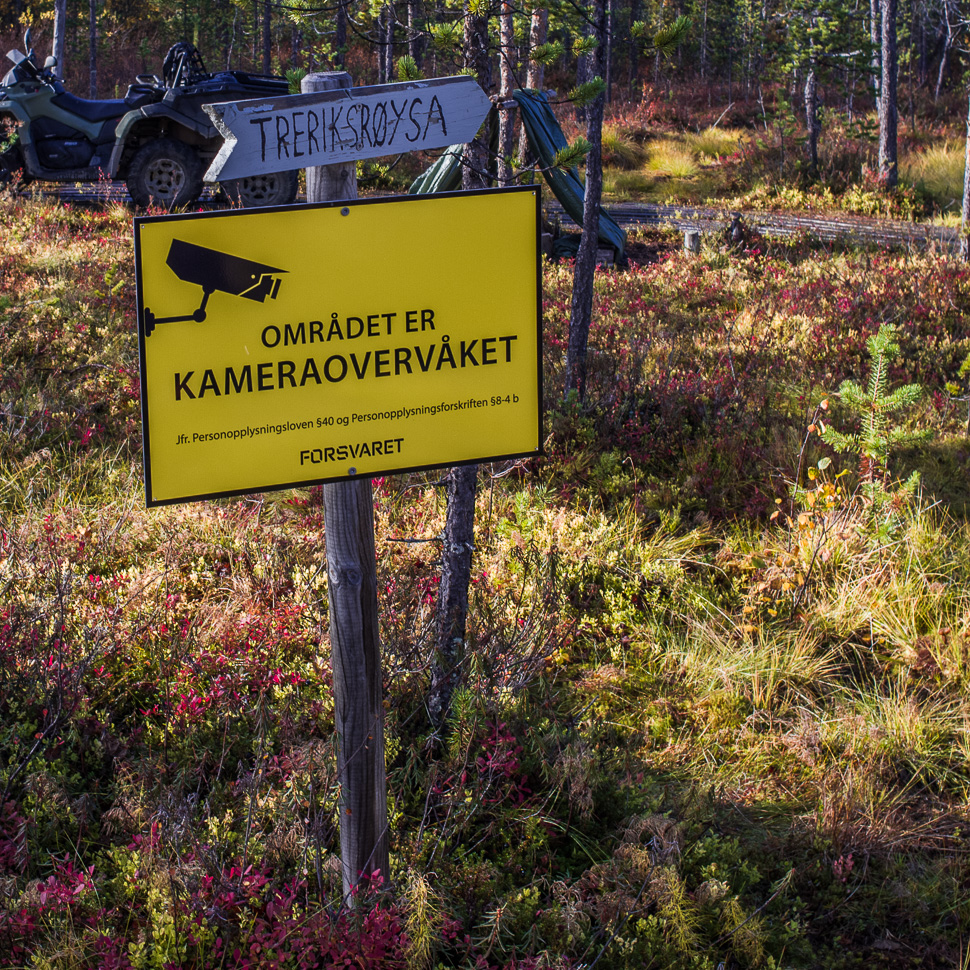
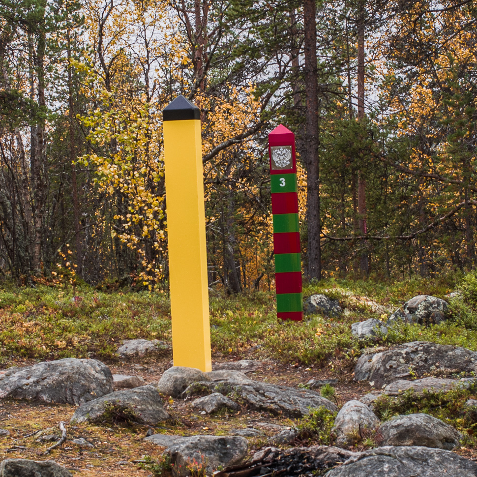
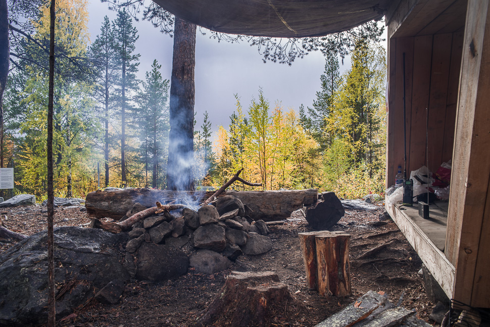
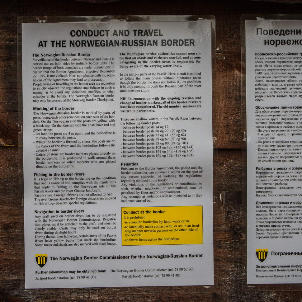
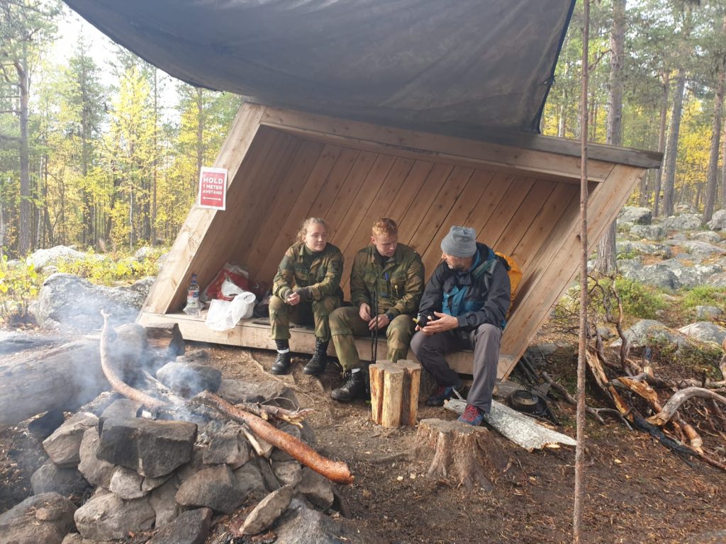
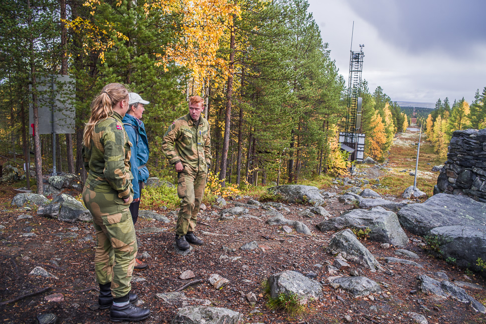
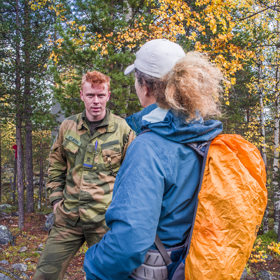
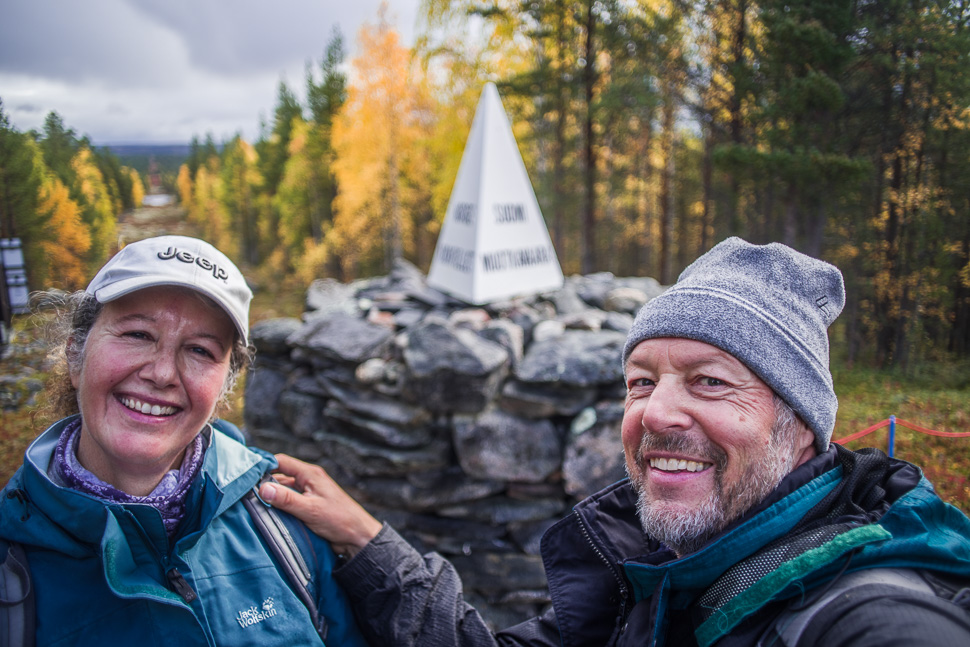
Finally we reached the tri-border area, where 2 young Norwegian soldiers welcomed us and made sure we knew that we were not allowed to step over the border, take a walk around the stoneman or even touch it.



Thank you for sharing. We will be heading there this summer. Greetings from Finland