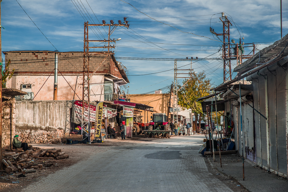
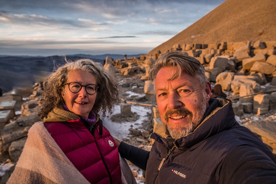
We were on the way to Mount Nemrut, one of the highest peaks in the east of the Taurus Mountains with 2100 metres. Directly on the top lies the royal tomb of Antiochus I (69–34 B.C.). We were looking forward to this sight, as we had seen so many photos on Instagram.
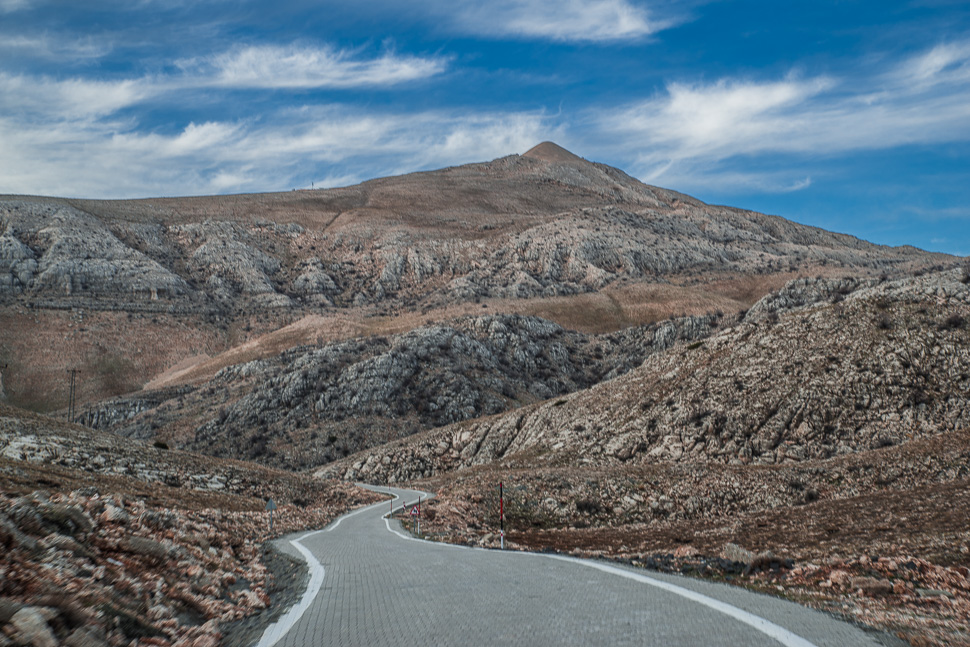
Already from a distance, the artificial peak of the mountain was clearly distinguishable.
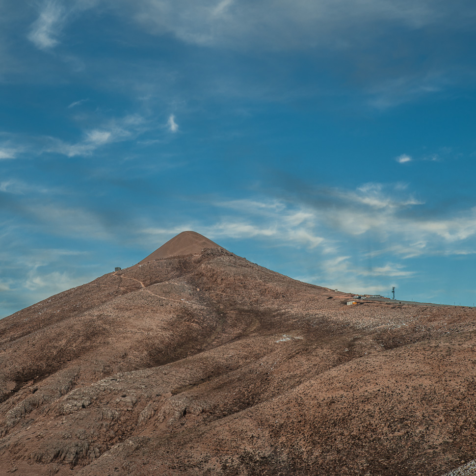
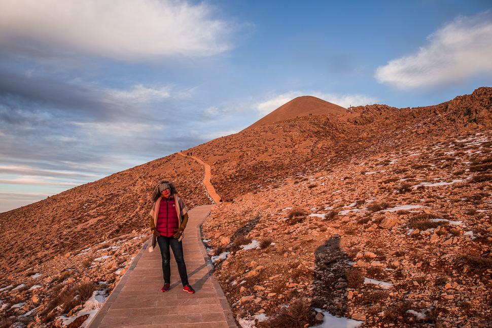
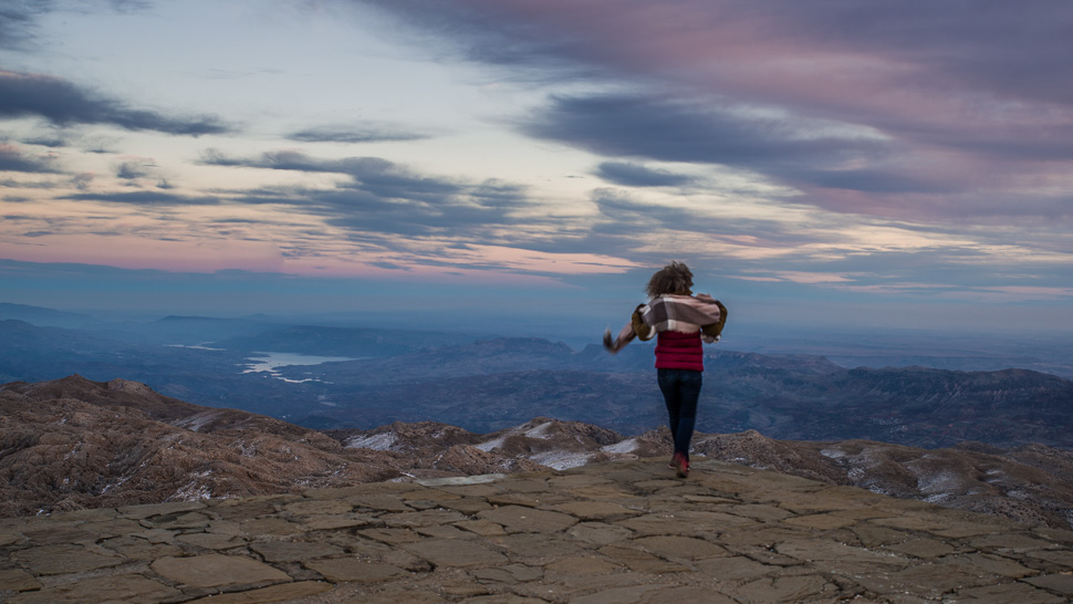
We could drive up to the topmost parking. In summer a shuttle bus will take you there from a bigger parking 2 km further down. The last part is a short walk over a good path with many steps until you reach the level with its 2 terraces, one facing east the other one facing west. The tumulus itself is covered with loose rock, forming a cone which is 49 metres high and 152 m in diameter. A burial chamber is suspected in the mound, but despite many attempts to penetrate the inside of the mound, this has not yet been proven.
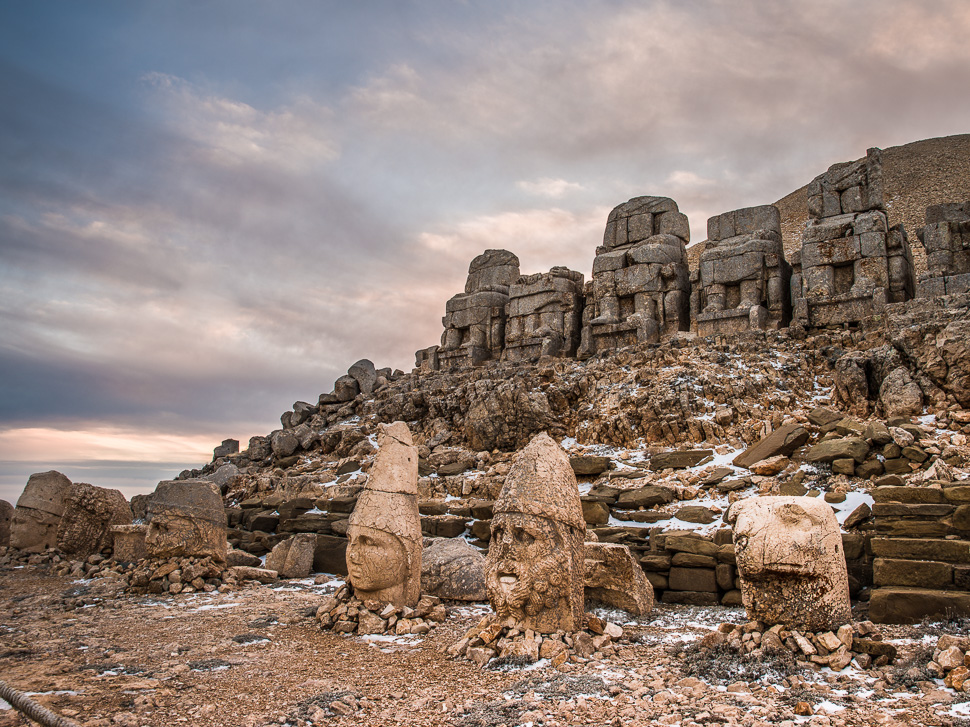
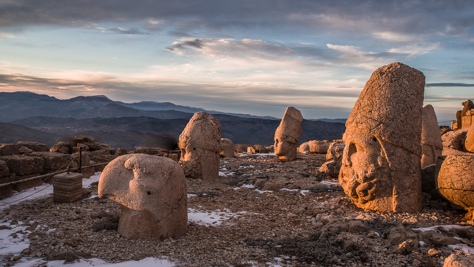
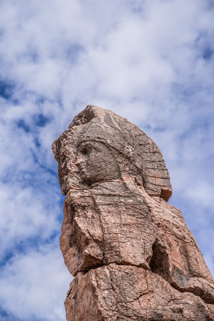
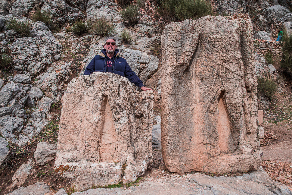
On both terraces, the statues that were once 8-10 m high are now headless. The heads are set up in front of the statues. The arrangement of the gods is from left to right King Antiochus, Commagene-Tyche, Zeus-Oromasdes, Apollon-Mithras and Heracles-Artagnes-Ares. They are flanked on both sides by a large eagle and a lion.
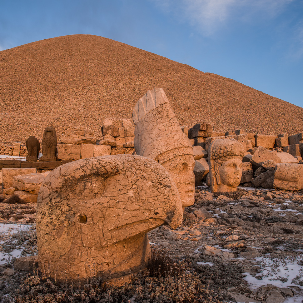
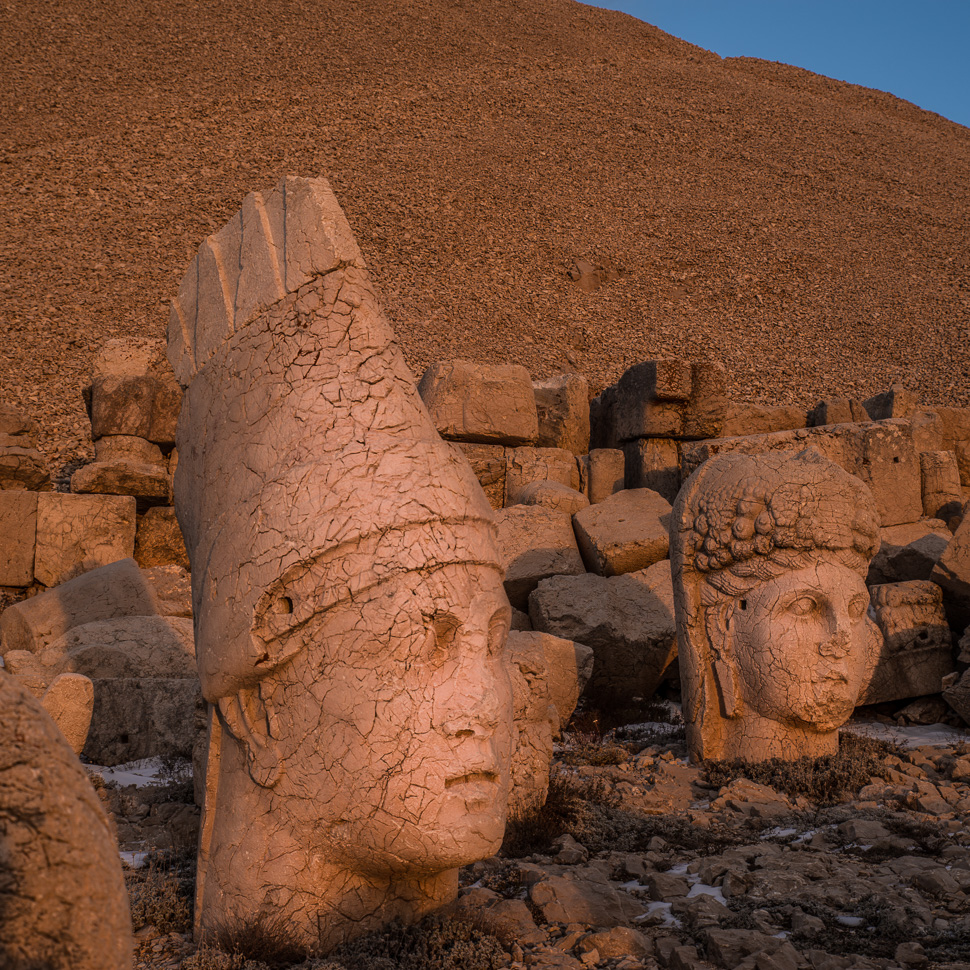
Antiochus was the most important king of Commagene and one of the most colourful figures of the late Hellenism. The Kingdom of Commagene was bounded in the east by the Euphrates, to the west by the Taurus Mountains and to the south by the plains of northern Syria. He considered himself important enough to be placed next to the gods.
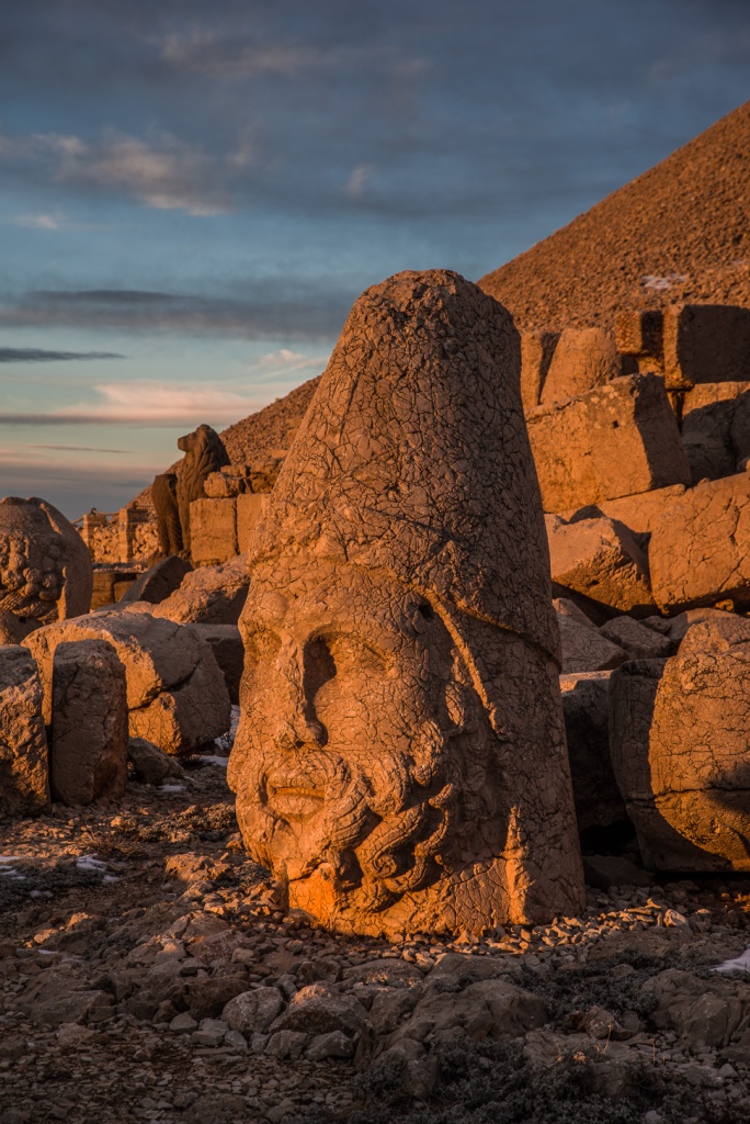
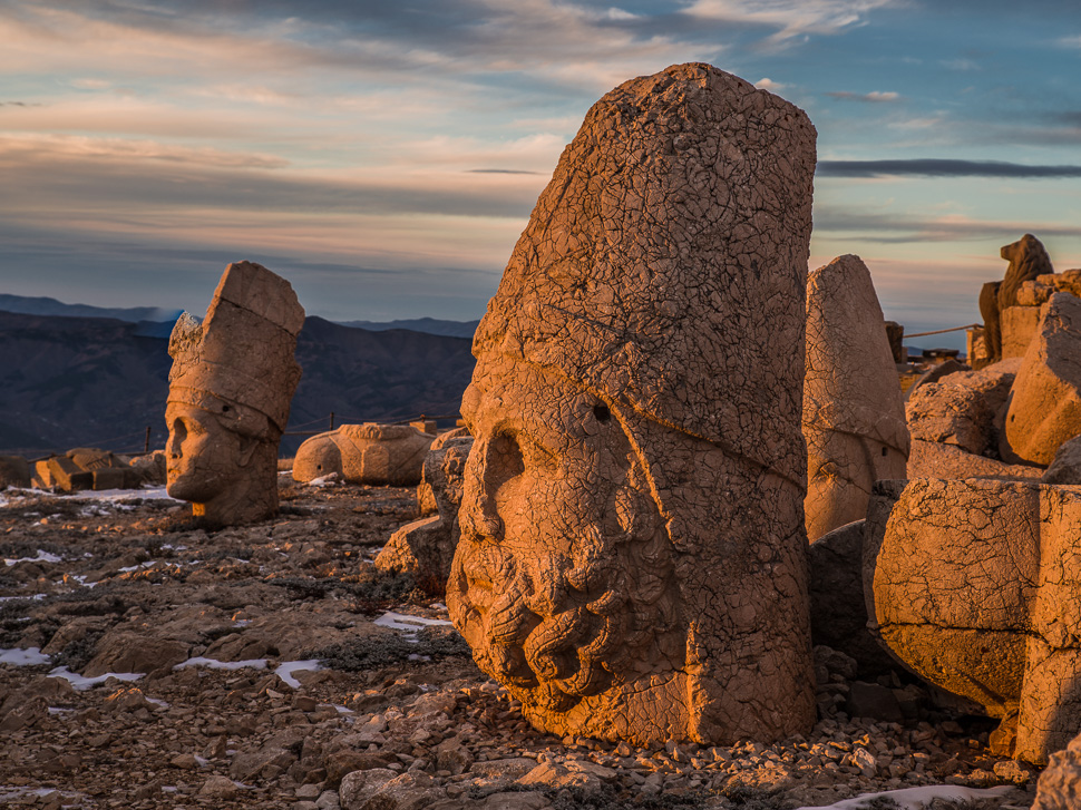
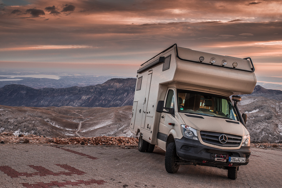
We had spent the night not on this very slopy parking, but next to the visitor centre with great views. The next day we were driving down to visit some other remains of the Commagene rulers.
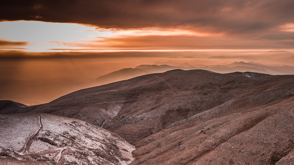
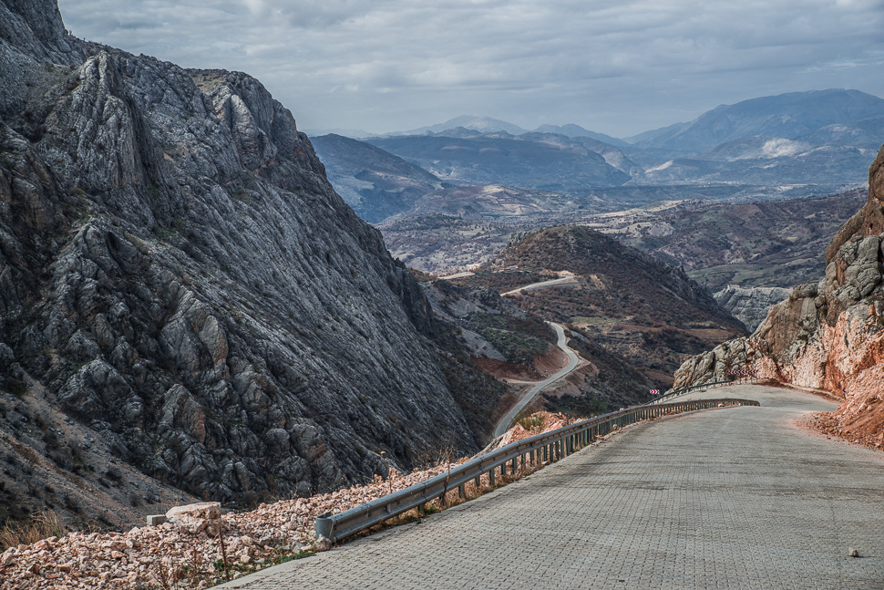
There is a good new road leading down the mountain to Arsameia, a fortress from the 3rd century BC built by an Armenian king. Antiochos’s father Mithridates had it expanded into a place of worship and a burial site.
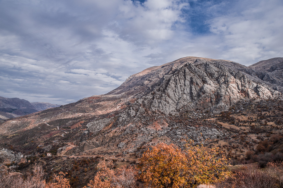
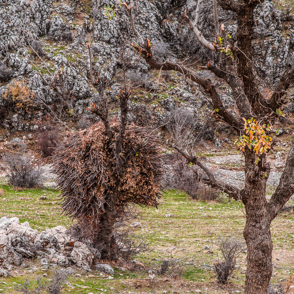
On the way we noticed, that the few trees growing here, were used by cutting off their branches during winter, which gave them a funny shape with new branches growing from the trunk. The branches were stored piled on the tree to dry before they are used as firewood, we suppose.
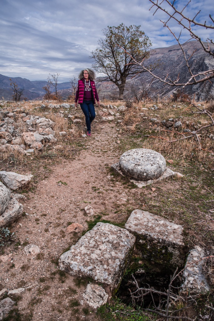

On the wall of rock an inscription in five columns was uncovered, in which Antiochos relates the story of how the city was founded as well as detailed instructions about how to carry out the rites that needed to be performed. Since the inscription had been almost completely covered in earth from ancient times it is still in an amazing condition. In the lower part of the inscribed wall a tunnel begins that goes steeply down and then suddenly ends after 158 metres. Above the wall stands the best preserved dexiosis relief of Commagene. It shows one of the two kings, either Antiochos or Mithridates, shaking hands with a naked Herakles, recognizable from his club.
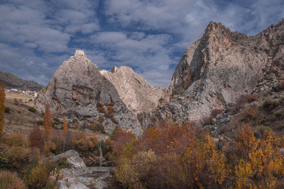
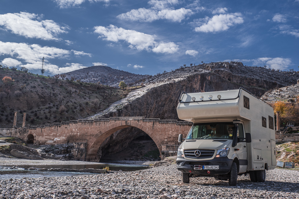
The single arch bridge over the Cendere Çayı was built under Emperor Septimius Severus (193–211 AD). It has one of the largest arched openings among all surviving Roman bridges with 34.20 m.

We came past the Karakuş Tumulus, a funerary monument for the female members of the family built by King Mithridates II of Commagene in 30–20 BC. The tumulus is surrounded by groups of three Doric columns, each about 9 metres high. In the distance you can see the top of Nemrut Dagi.
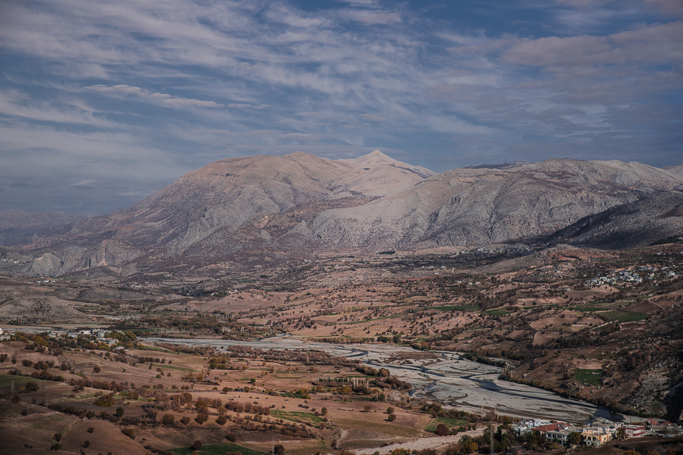
From Nemrut Dagi, we will be making our way now south to a much, much older site, called Göbekli Tepe. More on our next post!

Thanks To you I found the informations I was looking for : the state of the road to the top of Nemrut dagi . How many horse power is your Mercedes van? I have a 90 HP Ducato and what’s the road’s gradient, 10 or more percent. Thanks for your answer.
Hallo,
190 Hp and 4×4. You will make it!