
What is called Meandro el Melero are the horseshoe bends in the river Alagón, which makes its way through the mountains in the Las Batuecas – Sierra de Francia Natural Park. We saw photos of this landscape and decided to hike there. On Wikiloc we found a route we liked and off we went. (Trail from chuscs called “Cabaloria. Meandros del Alagón. Meandro Melero”)

Our route started next to the abandoned village of Cabaloria, where a parking was a good spot to spend the night. (40.40434, -6.071896) Some panels told as a lot about the life of the former inhabitants and that they had to leave, when a dam was built further down the river. Not the village was flooded, but their fields and therefore their livelihood was destroyed.

We first reached the lookout point of the official route, before we made our descent to the river. At this time of the year, there was not very much water in the river. We had seen pictures from spring, where the water covered all the valley.


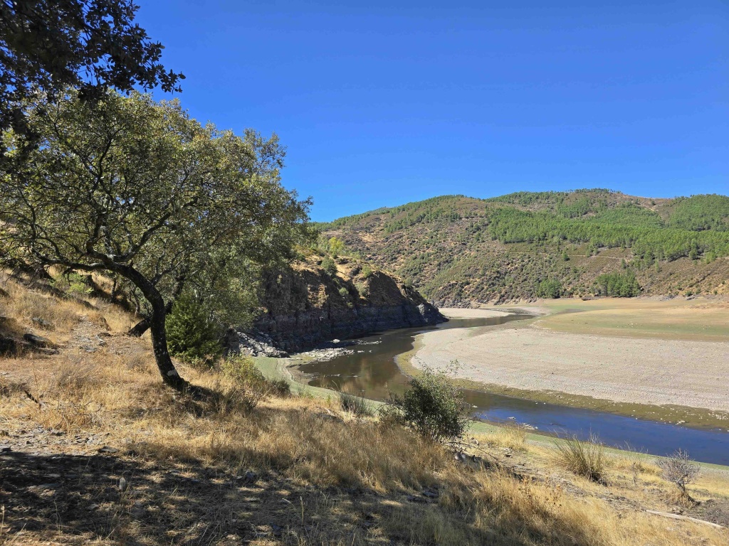
We could easily walk along the bend of the river and all the way around the peninsula. Walking on the river bank felt like walking on pastures.


Instead of climbing up the rocks where the river left no space to walk, we decided to cross the river instead.

There were enough shallow areas to cross the river, just the sand at the river bank made it hard to get clean feet again.

With our dirty feet, we decided to walk barefoot until we could cross the river again to be back on the “right” side.


This was a great hike!! The weather was perfect, and we had a lot of fun with crossing the river and finding our way. From here we will continue deeper into the park and to the river Batuecas – more next!