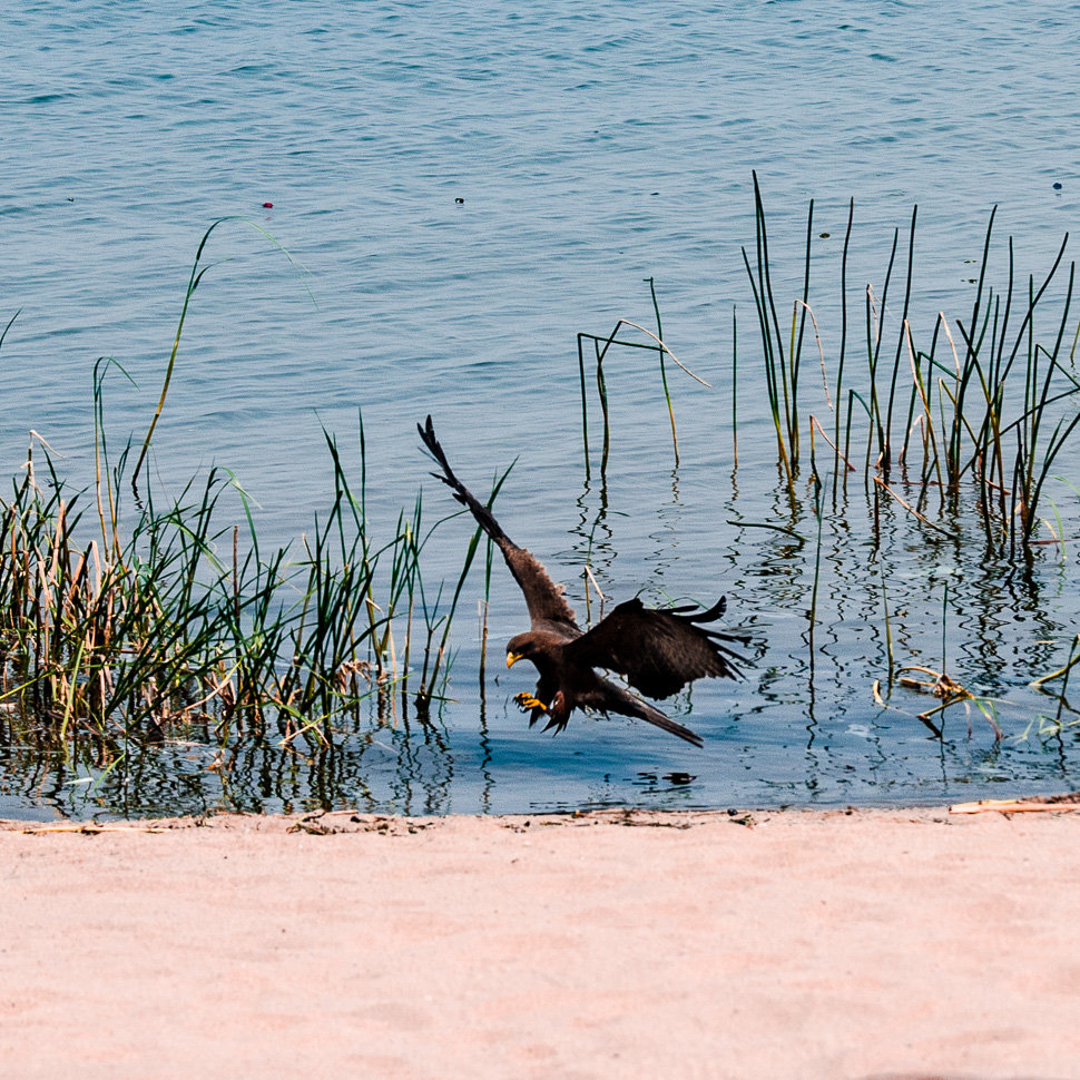
From the Kasanka NP we crossed the Bangweulu Wetlands until we reached the shore of the lake, which every year during rainy season rises just one metre to flood an area of 9,000 m2. We spent a relaxed day at the lake before we continued our route.
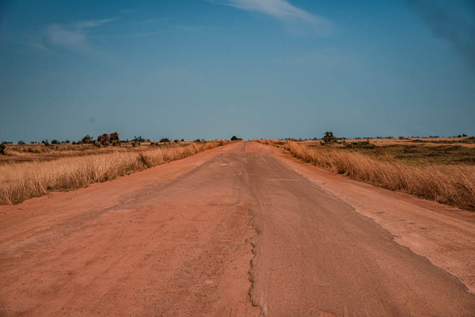
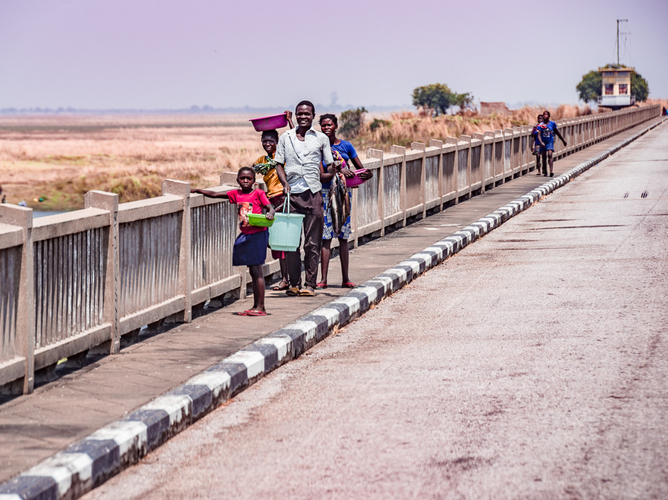
Before 1983 there was no road connecting Mansa with Serenje, all the traffic went through Congo on the Pedicle Road. Nobody thought it possible to build a road through the swamp but the Chinese, who built a dam and a 3 km long bridge, which is now an important road to get to the north-west of Zambia.
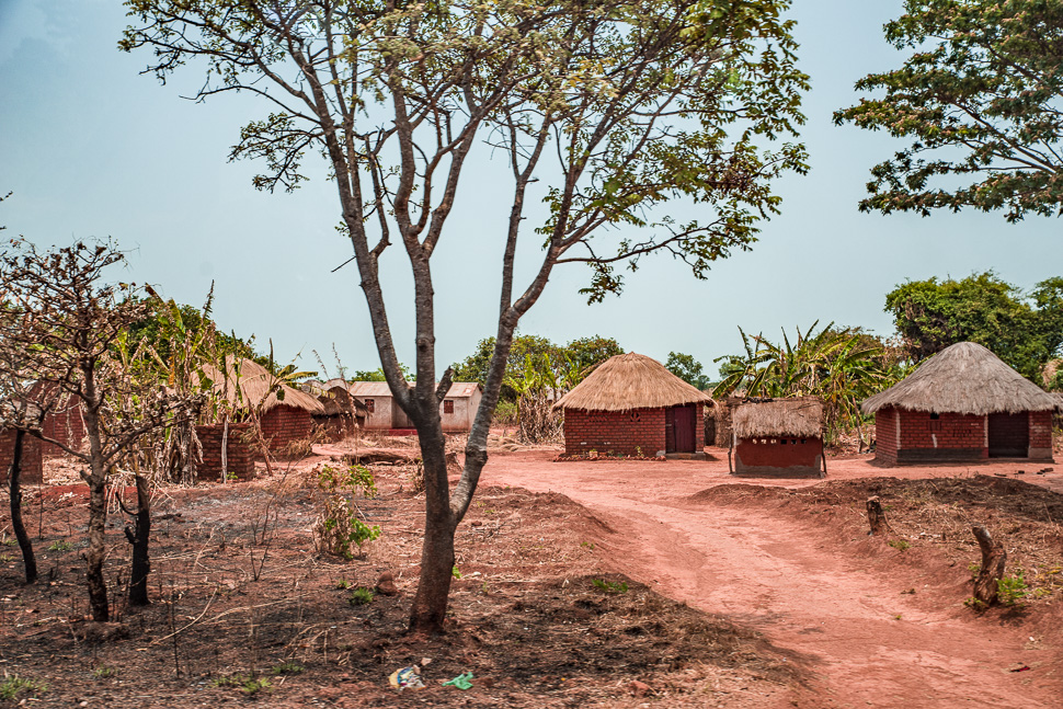
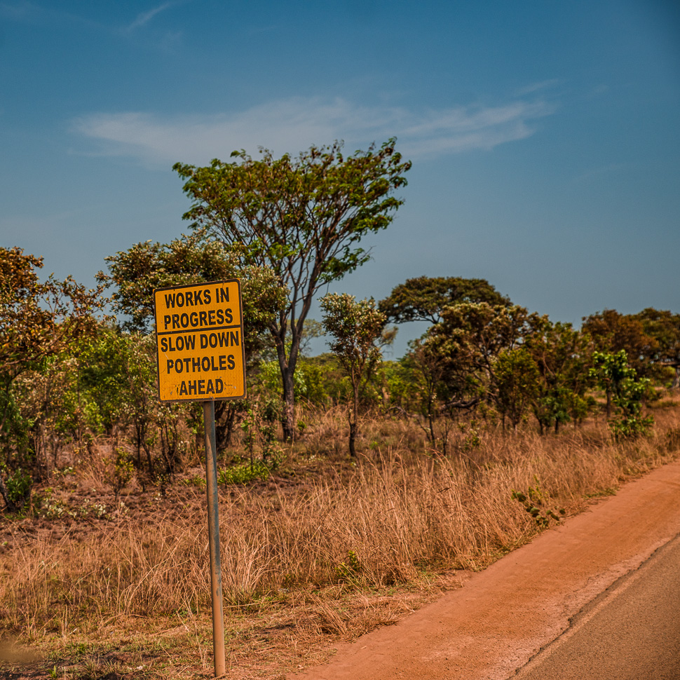
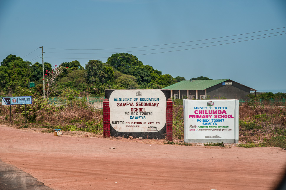
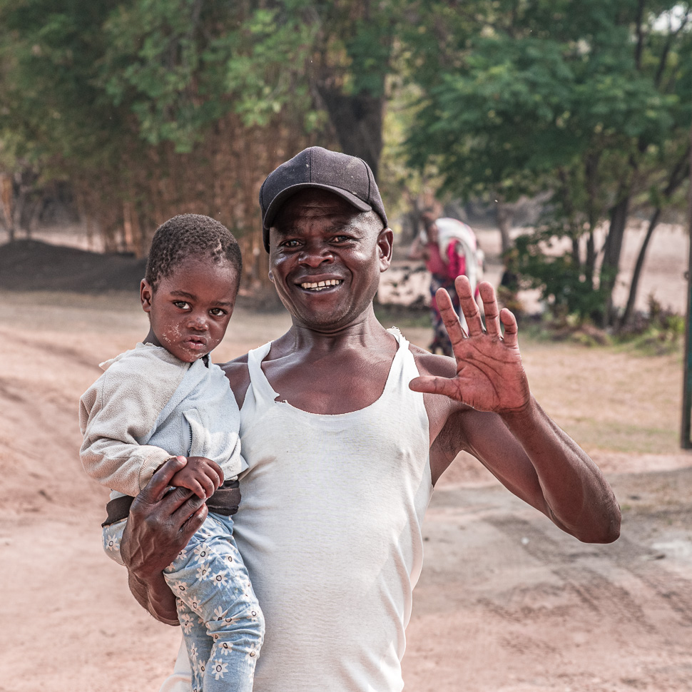
The area is densely populated, even more than the rest of Zambia it seems. There are no 100 metres without a hut or more, now and then comes a school or a church, mostly of the Jehovah’s Witnesses. There are stalls for tomatoes, onions, cassava and charcoal along the road. Traffic is little, but there a lot of people walking or cycling along the road, the bikes often laden with big bags or 2-3 passengers.
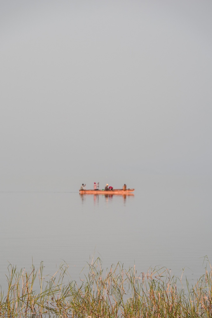
Bangweulu means “Where the water meets the sky” – which seemed really appropriate on that overcast day.
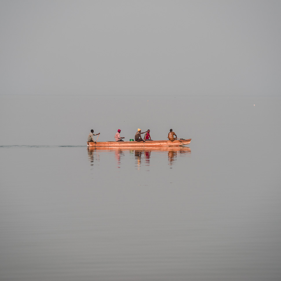
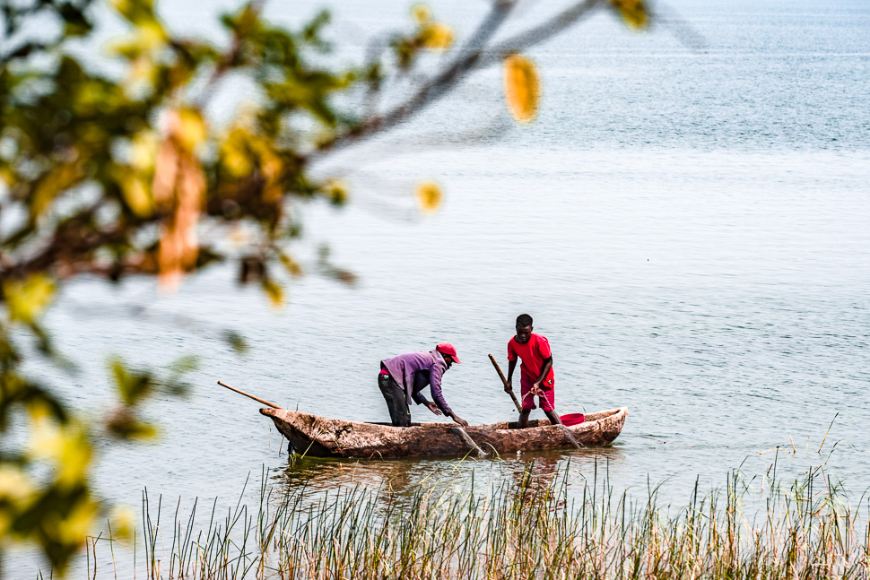
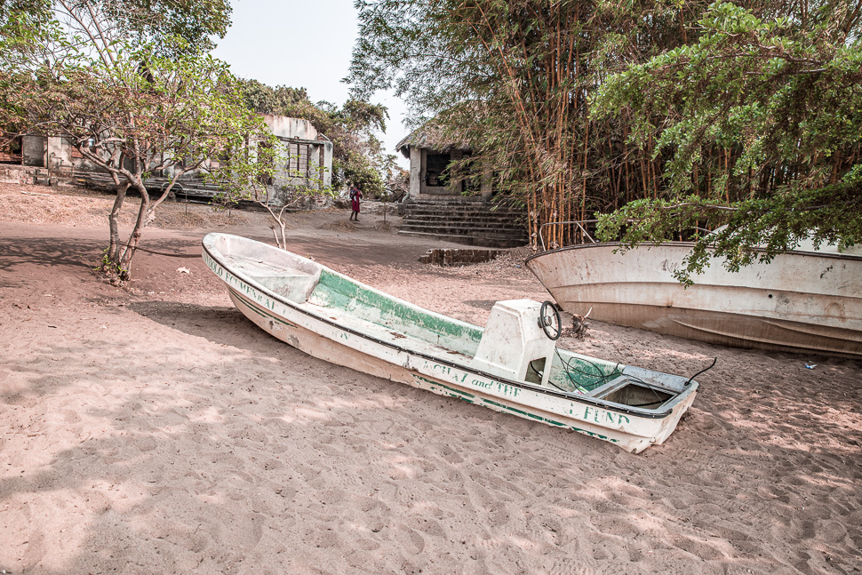
13,500 t of fish are caught every year by 10,300 people using 5305 dugout canoes, 114 plank and fibreglass boats, and only 54 outboard motors! At night we saw a string of lights from the fishing boats at the lake, which looked very romantic.
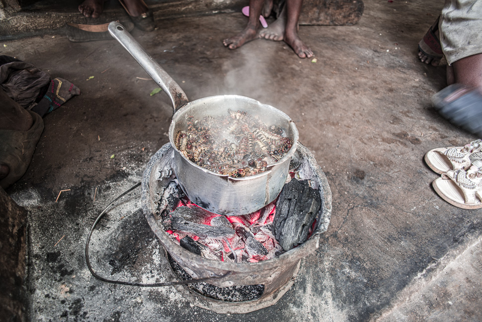
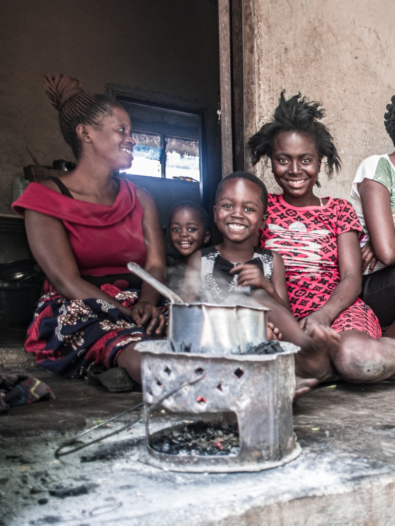
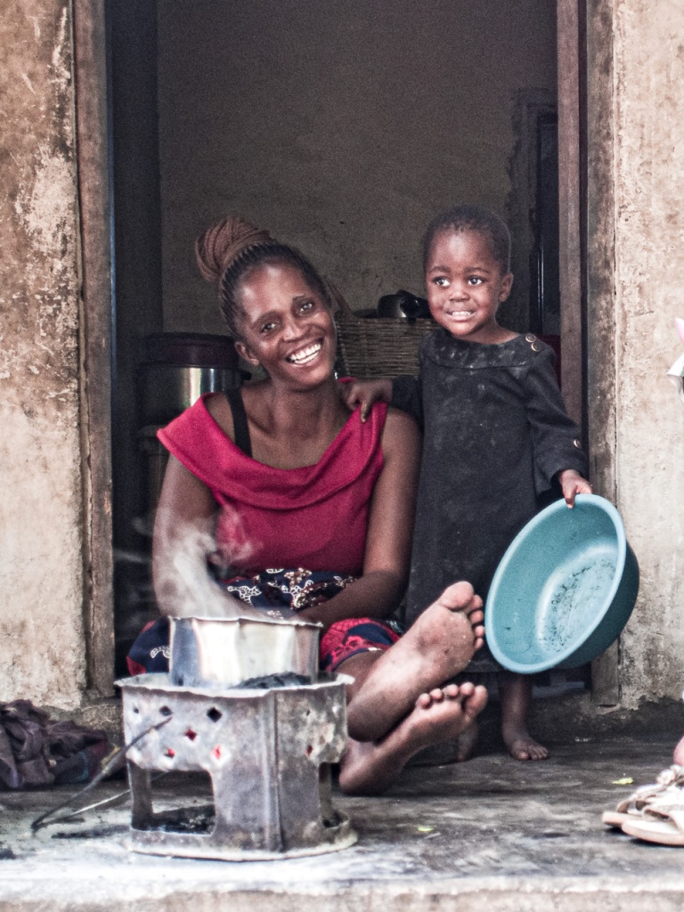
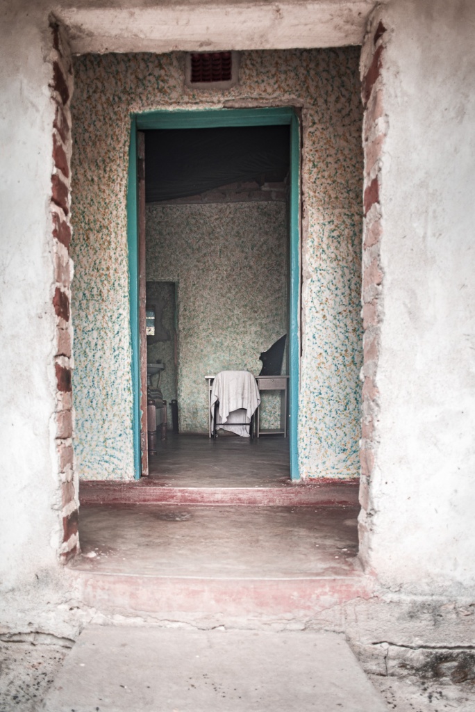
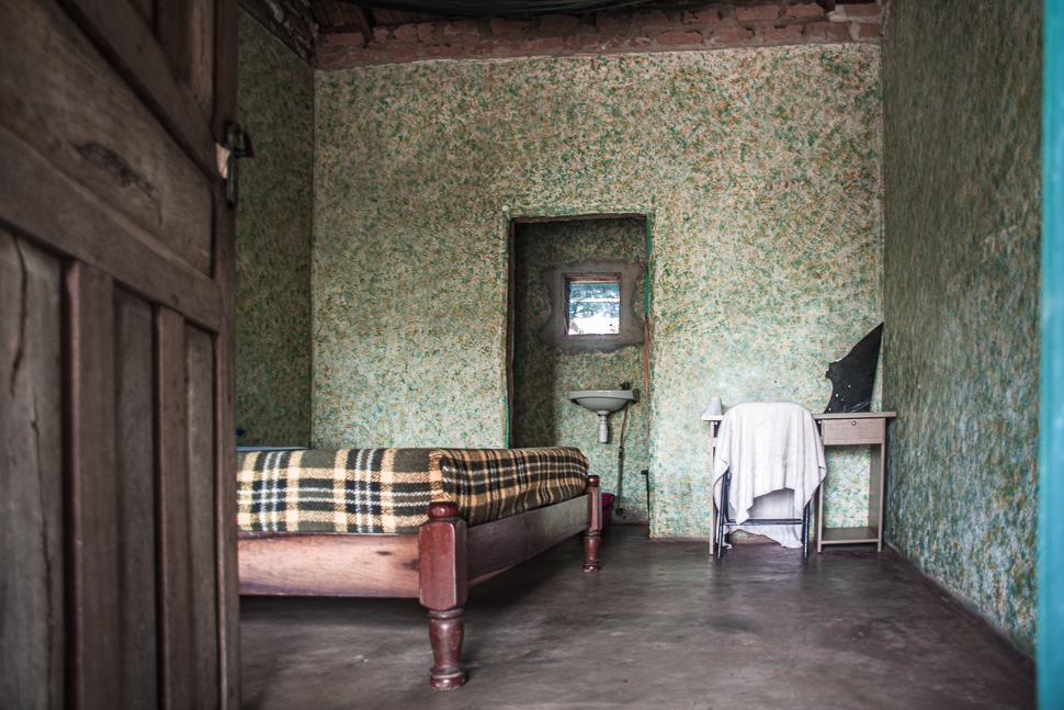
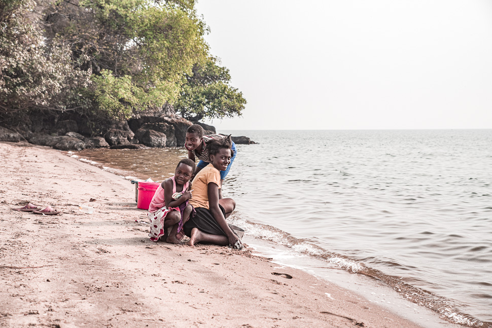
At Samfya we stayed at the site of Christopher, which has a nice beach and some run down guest rooms. The family lived in the house next to the rooms for rent.
After 2 relaxed nights at the lake, we continued our way to Mansa and further north along the border to Congo – more on our next post.