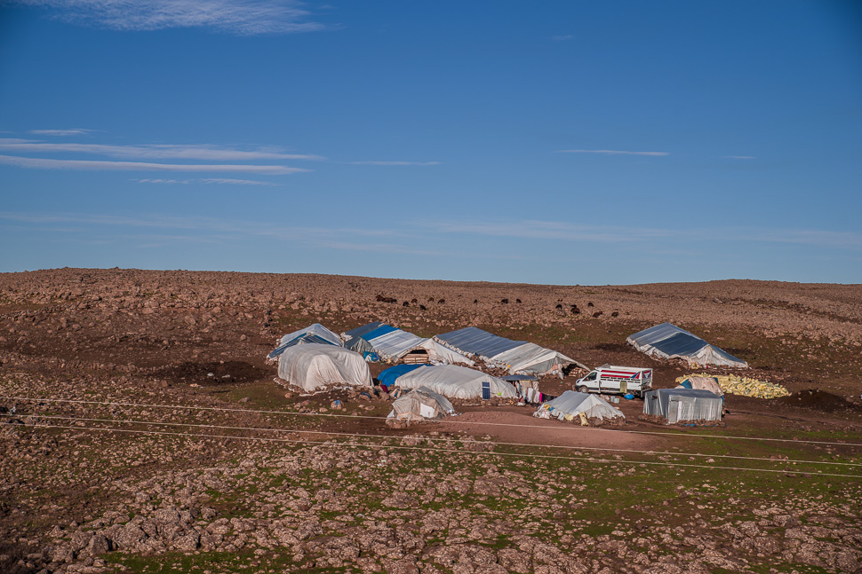
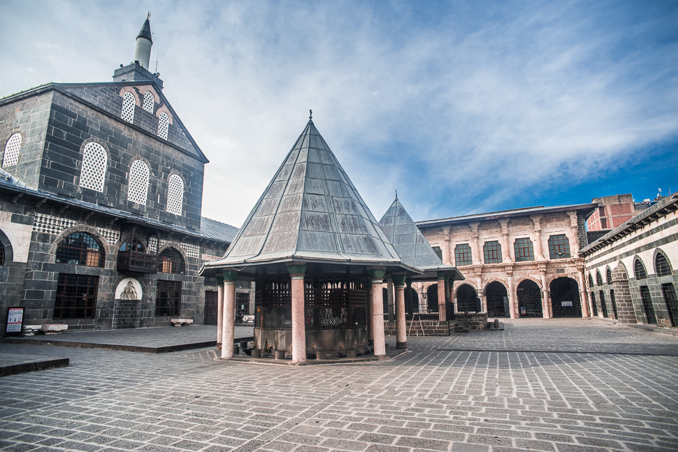
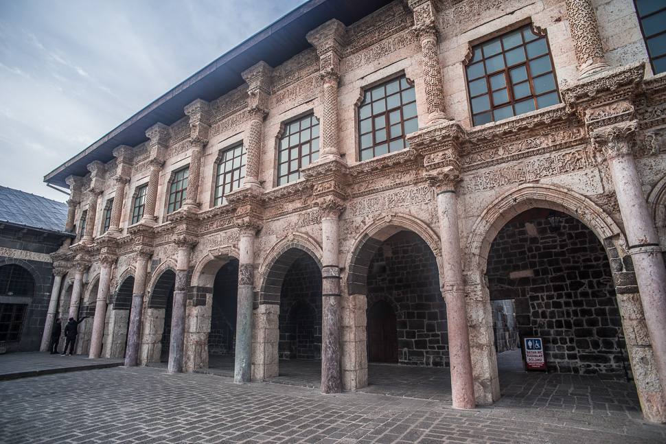
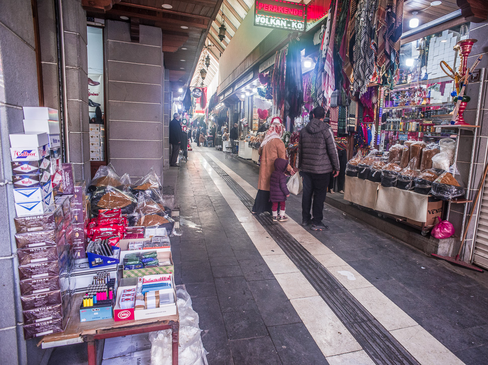
Diyarbakır is located on a basalt plateau on the right bank of the Tigris surrounded by a high and mainly intact 5 km long city wall. Of course today the city with 1,7 million Kurds spills out and most of the modern town lies outside this wall. We managed to find a good parking for the night inside the walls from where we could walk through the centre.
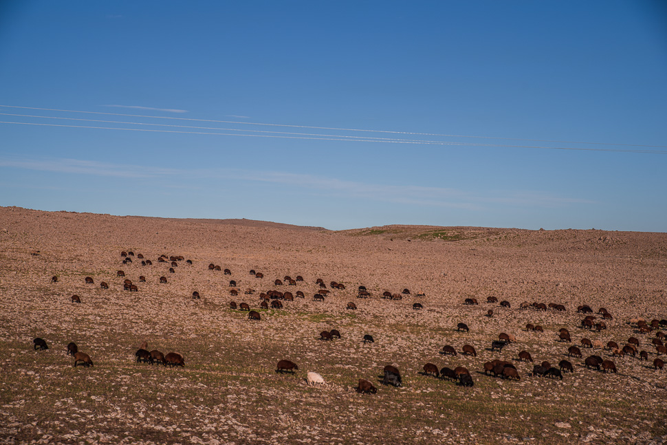
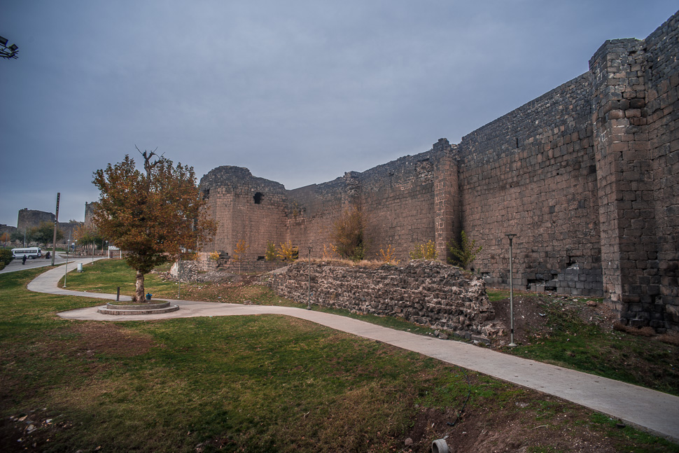
A settlement was first mentioned in the 13th century BC. After centuries of Achaemenid, Seleucid and Parthian rule, the place finally came into Roman hands around 200 AD. In late antiquity, Amida, previously rather insignificant, was a very important Roman fortress on the border with the Persian Sassanid Empire and was heavily fortified by Emperor Constantius II from 349, who stationed seven legions there (about 7000 men). The late Roman fortress wall has largely been preserved.
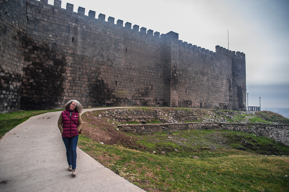
The city wall has a height of ten to twelve meters and a thickness of three to five meters. It has 82 towers and four gates. The gates point in the four cardinal directions.
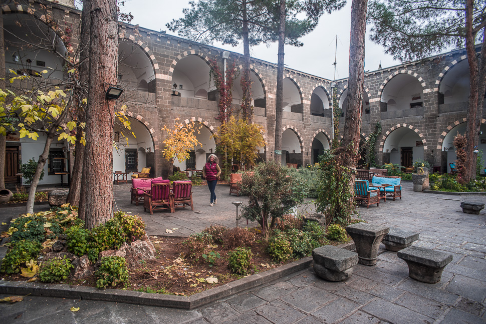
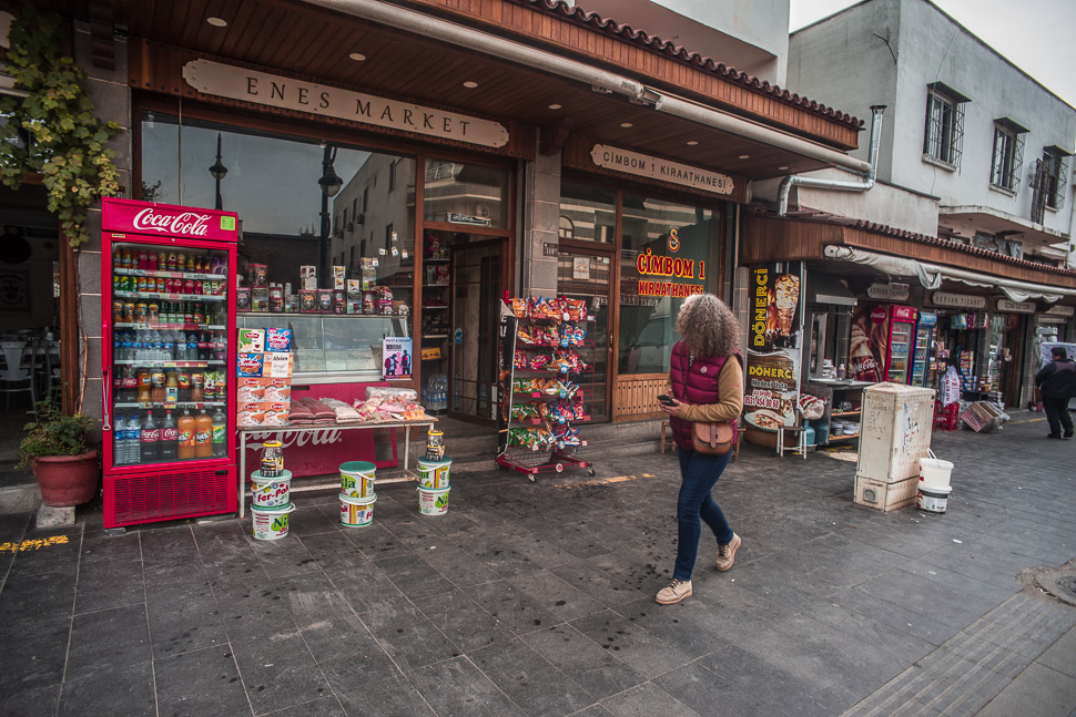
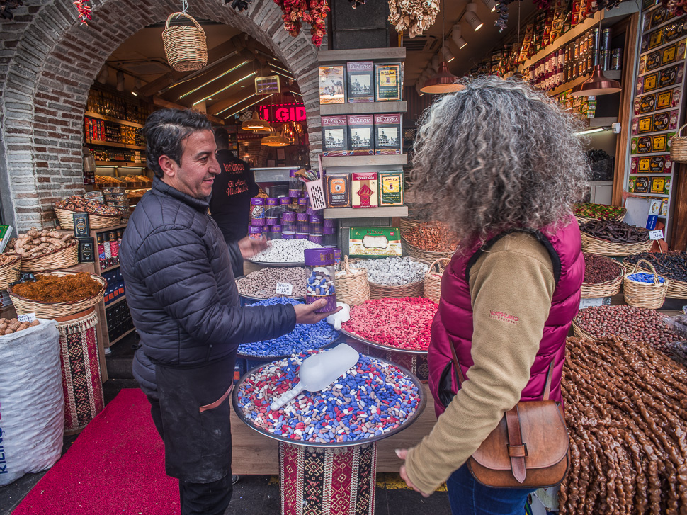
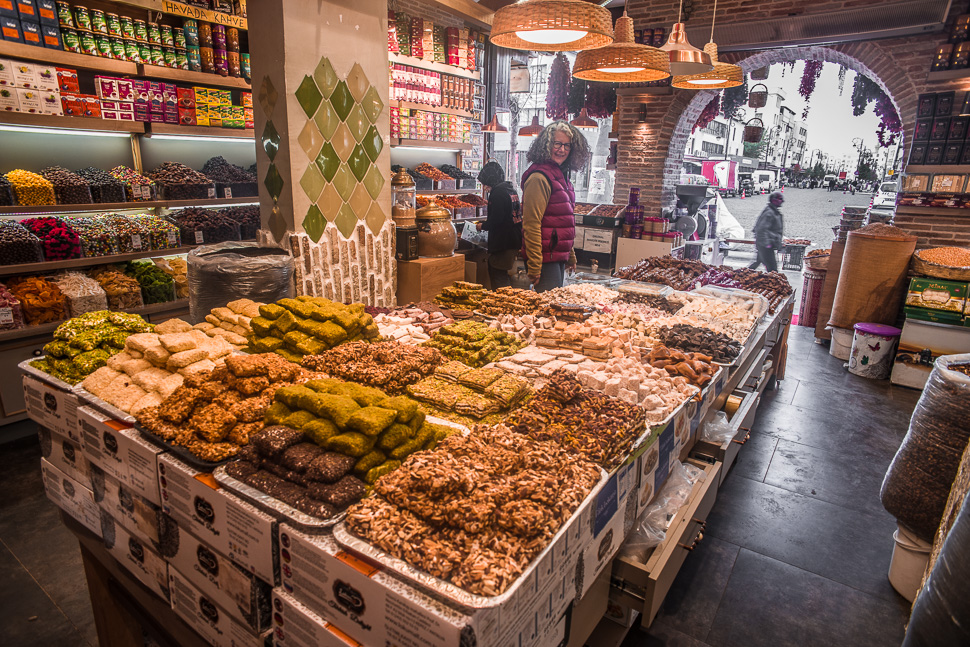
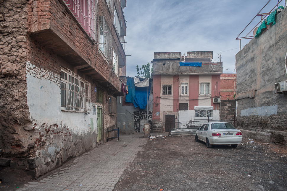
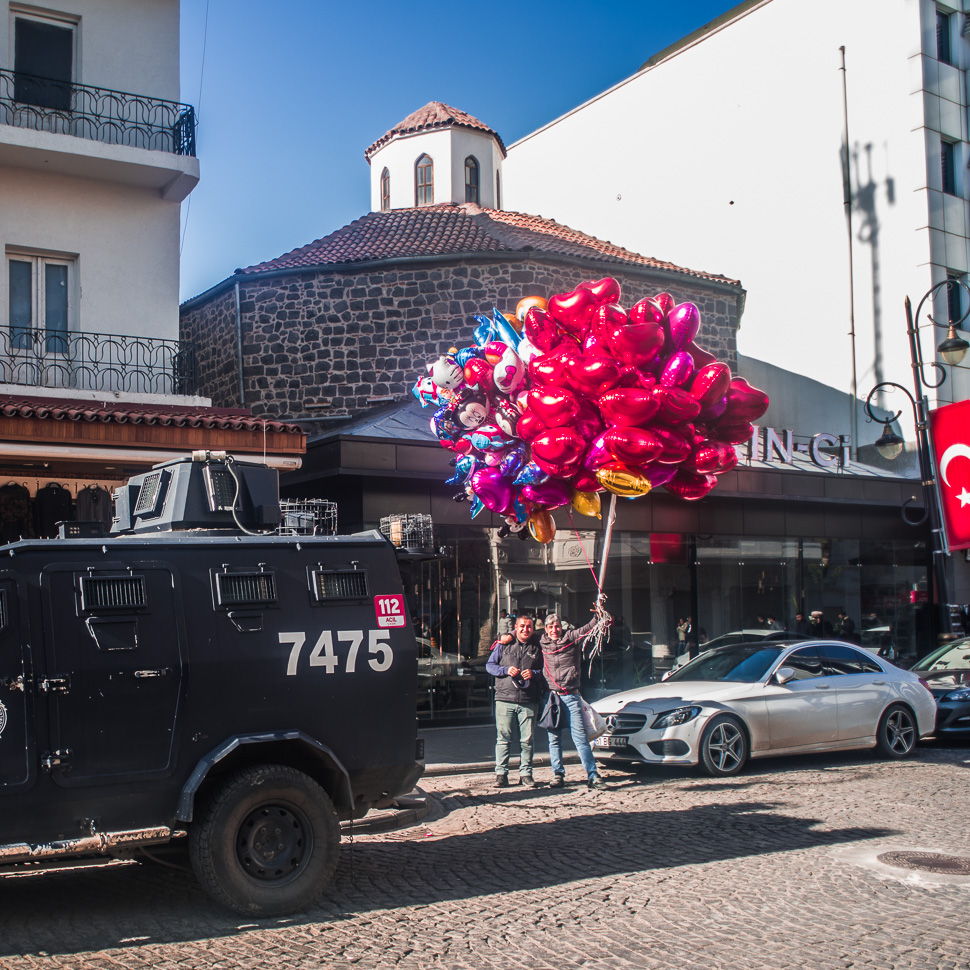
Since 2015, following the changed Kurdish policy of Turkey, there has been fighting and great destruction in the city. Large parts of the combat zone in the historic old town were badly damaged, including the recently reopened St. Giragos Cathedral. When the fighting ended, excavators began to demolish the buildings, including many cultural sights. Large open spaces were created inside the city wall, which we had noticed when walking to the eastern gate.
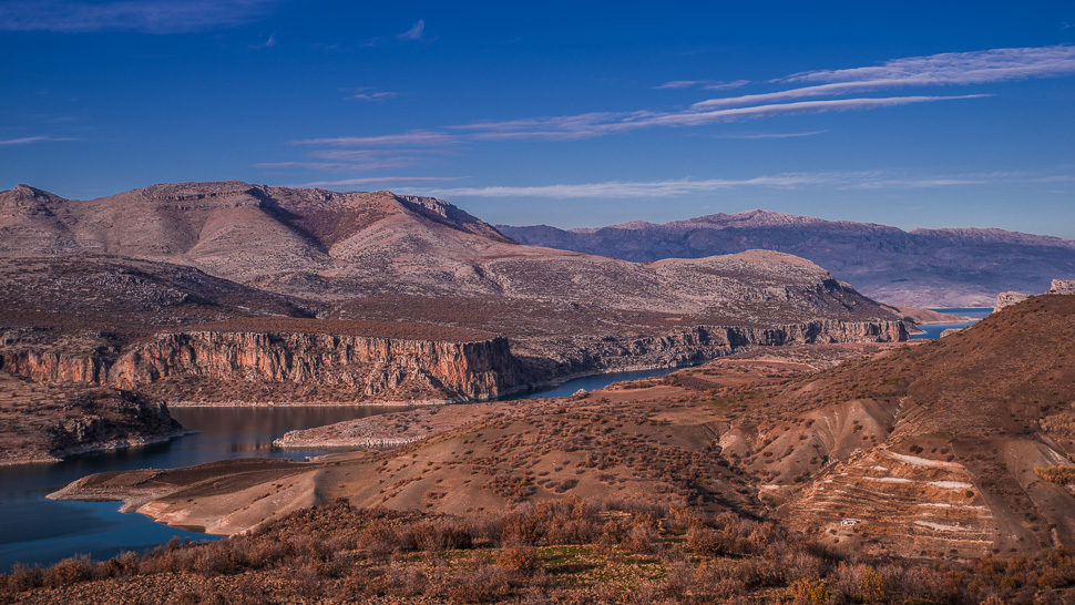
In the afternoon we left Diyarbakir to drive over the river Euphrat and up to Nemrut Dagi, but more on our next post!
